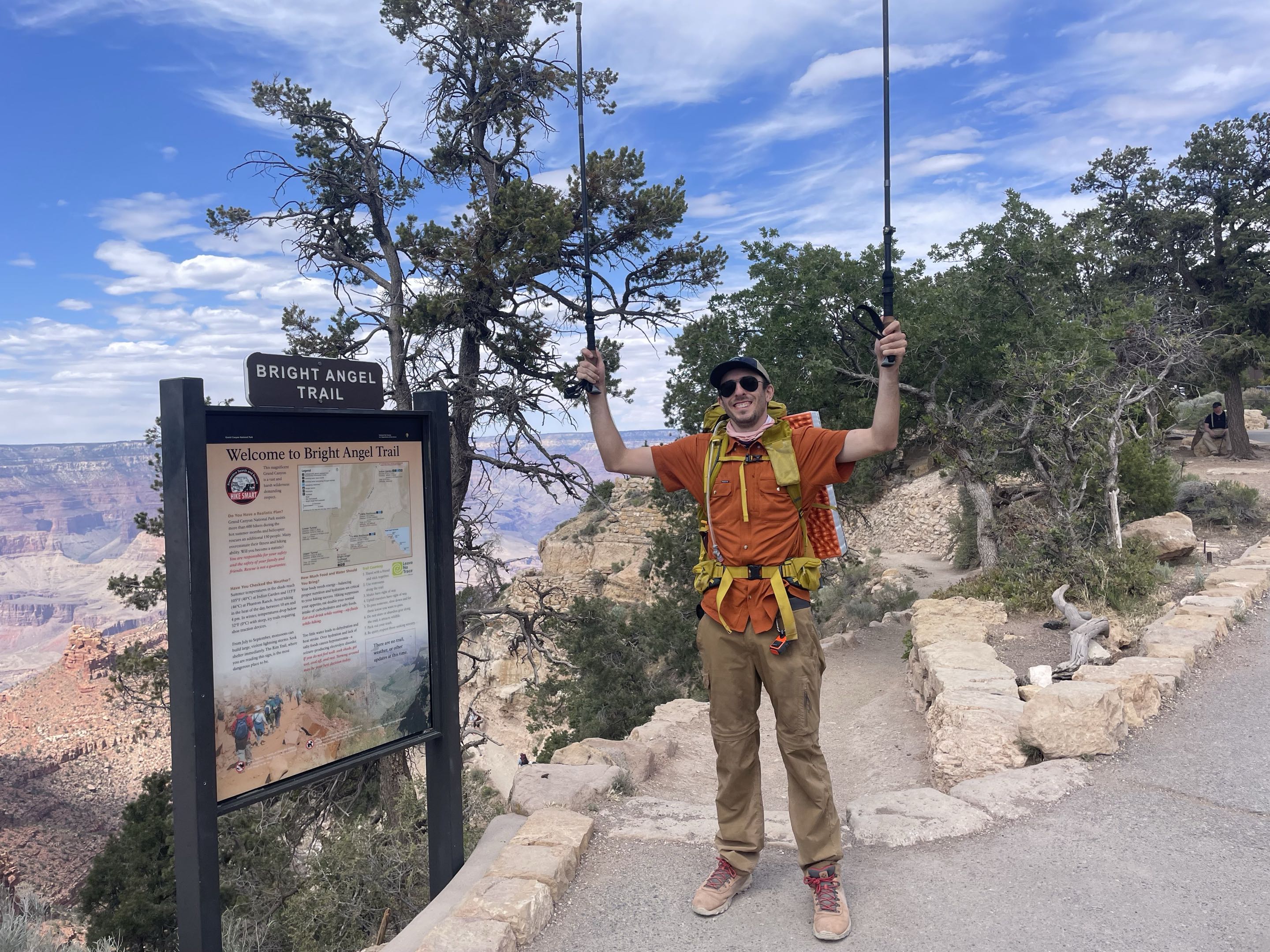
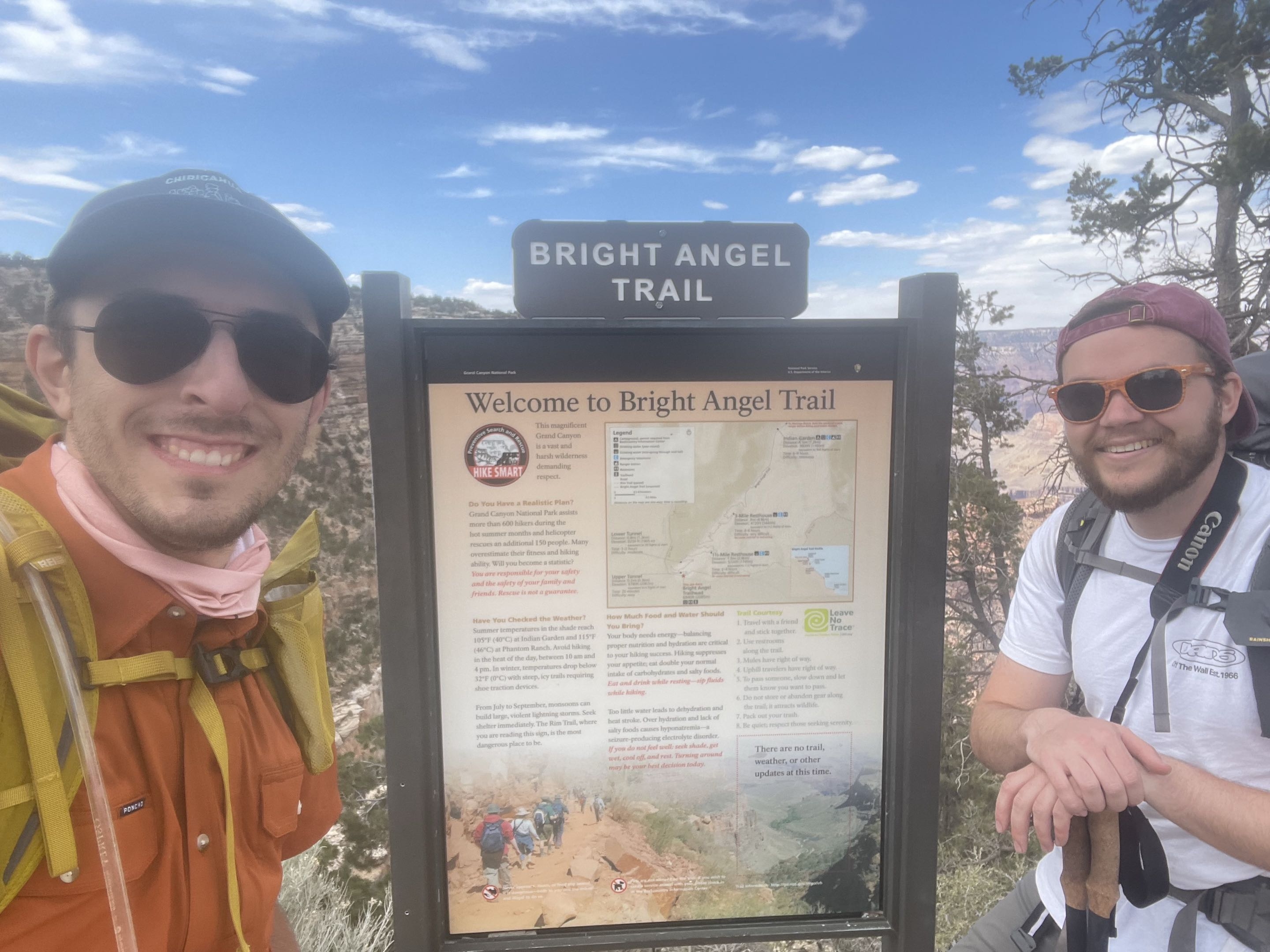
Across the Great Unknown: Hiking the Grand Canyon Rim-To-Rim post-Dragon Bravo
May 21-22, 2026
Published on June 12, 2026
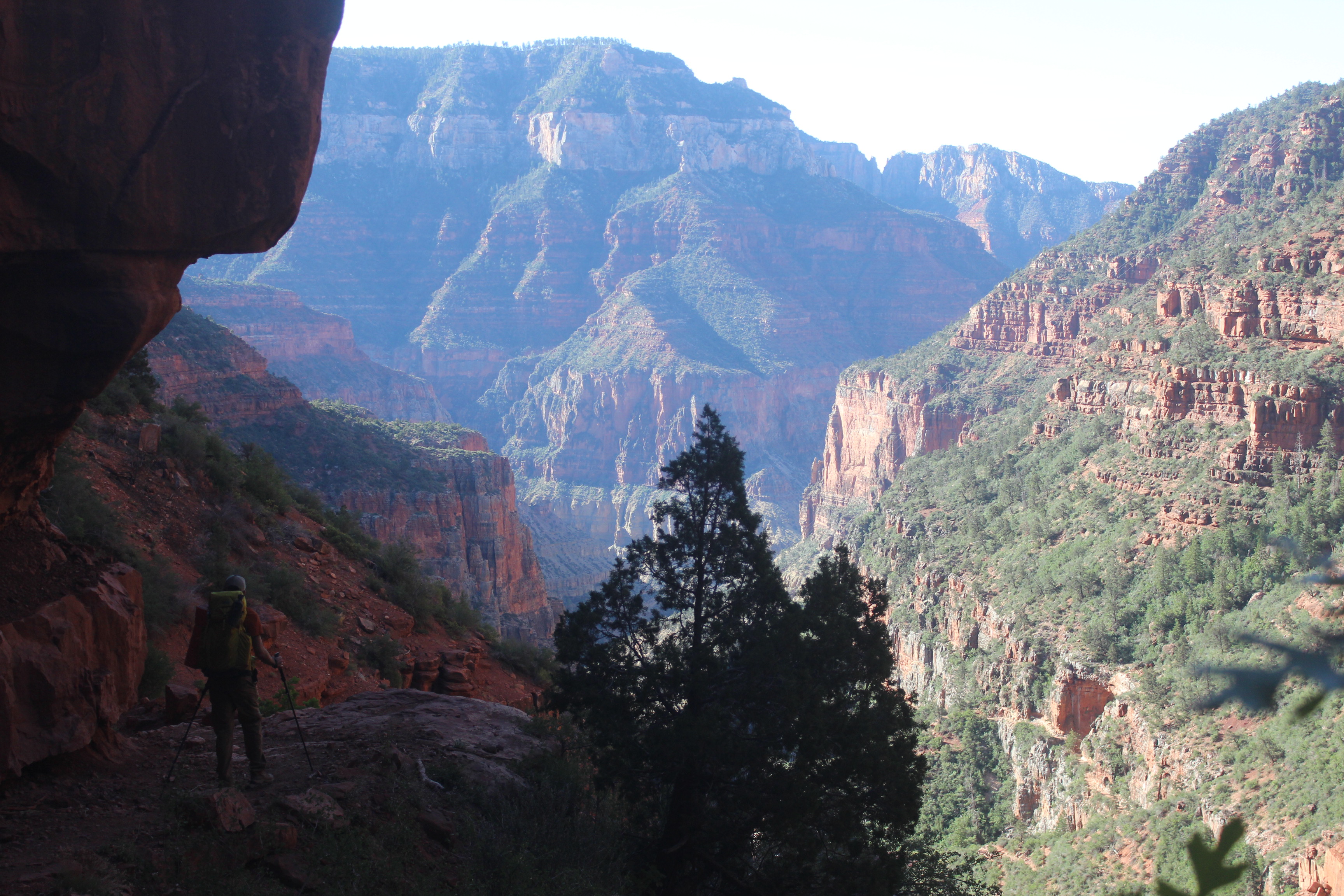
For well over the past year, me and my friend Ethan have been committed to hiking across the Grand Canyon rim-to-rim. I remember first seriously considering it before last summer. I started to logistically plan the trip—what all I would need, including permits and gear. My plan was to begin the hike on the North Rim of the Grand Canyon, descend down to the Colorado River, camp, and then ascend up the South Rim the following morning. In early July, however, I read headlines that really worried me.
A fire, named Dragon Bravo, had broken out on the Kaibab Plateau (the uplift containing the North Rim) on July 4, 2025. Initially caused by a lightning strike, federal authorities decided to contain the fire and let it burn in a controlled manner, but the winds unexpectedly picked up about a week later and the fire began to rapidly expand. Over the next few days, Dragon Bravo would prompt evacuations from the North Rim all the way down to the bottom of the canyon at Phantom Ranch, some 6,000 vertical feet below. The fire eventually got so out of control that the North Rim Visitor Center and historic Grand Canyon Lodge were completely destroyed. The North Rim was definitively closed for the rest of the season and possibly much longer.
A quick disclaimer: This is not an article on wildfire management or the fire itself. I am not qualified to discuss this particular fire, or any wildfire for that matter, but I did witness its destruction on the landscape at the North Rim.
Fast forward to January 2026. We wanted to do our hike in May, but Grand Canyon National Park requires you to enter a lottery months before your planned trip if you’d like a permit to camp overnight below the rims. The projected timelines for the North Rim were still murky, but we decided to enter the lottery anyway. A few weeks later I was notified that I won the lottery. My initial itinerary was to hike down and back up the South Rim from May 21 to 22, but I really wanted to go across.
In March, the National Park Service (NPS) announced that the North Rim would have a limited reopening on May 15. The North Kaibab Trail that descends from the rim would open—but not much else. The visitor center and lodge had been demolished and were stripped to their foundations. Campgrounds on the North Rim would remain closed, and there would be no running water there, either. I contacted NPS, and they allowed me to change my starting point to the North Kaibab Trailhead.
The plan was set, then. Me and Ethan would hike across the Grand Canyon from north to south. I drove up from Texas and parked my car at the South Rim; Ethan drove down from Washington, picked me up, and we rode to the North Rim together. We camped at Jacob Lake Campground outside the park boundary and rose early the following morning to drive to the rim and begin our hike.
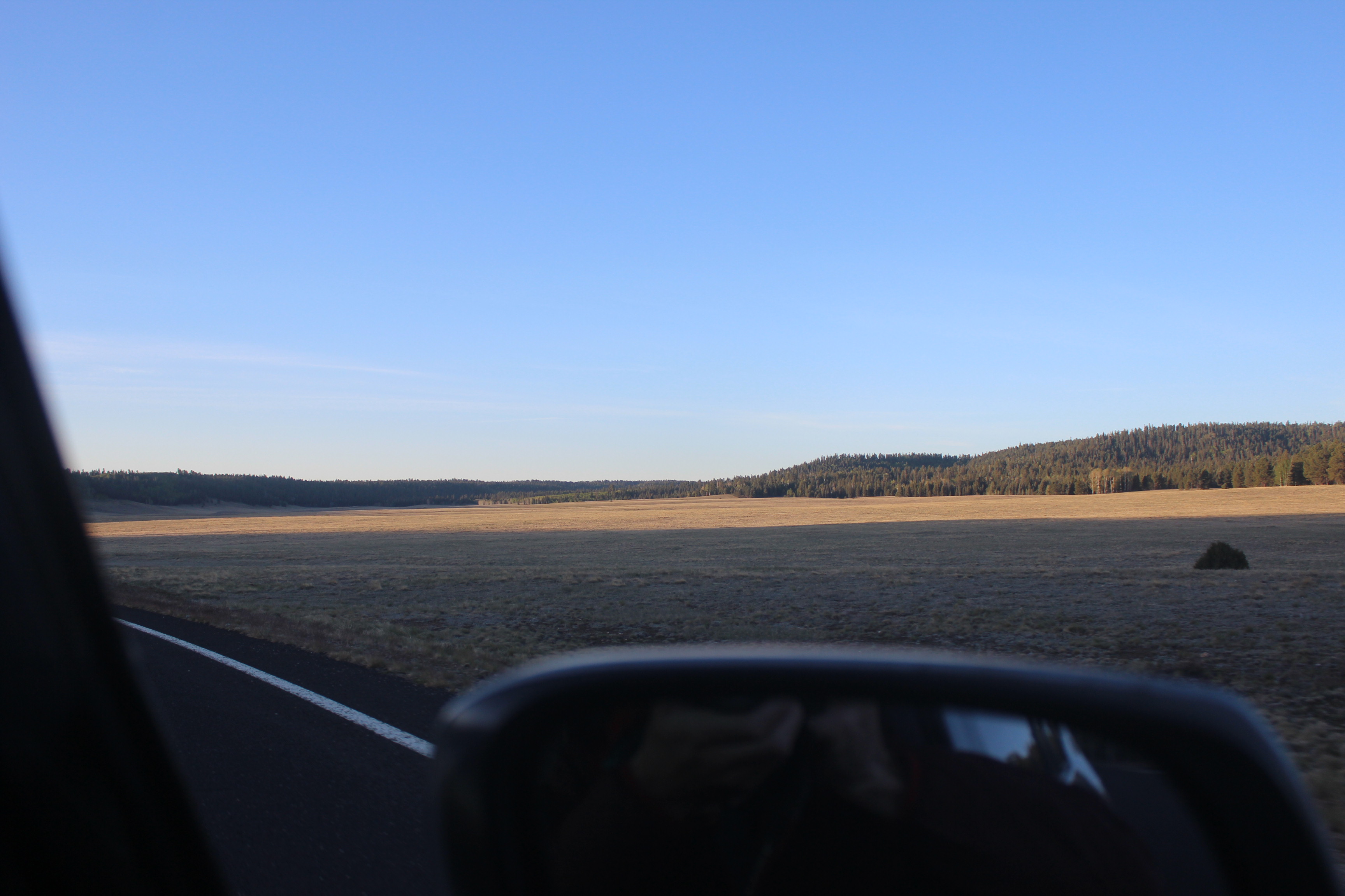
Outside the park boundary, the Kaibab Plateau is scattered with wide open meadows grazed by deer and bison. As soon as you enter the boundary, though, you are immediately greeted with the destruction from Dragon Bravo. We were over 10 miles from the ruins of the lodge. The landscape looked like a million toothpicks standing on blackened mounds made of coal. Dead trees scattered the ground by the thousands, and others had clearly been chopped down or cleared.
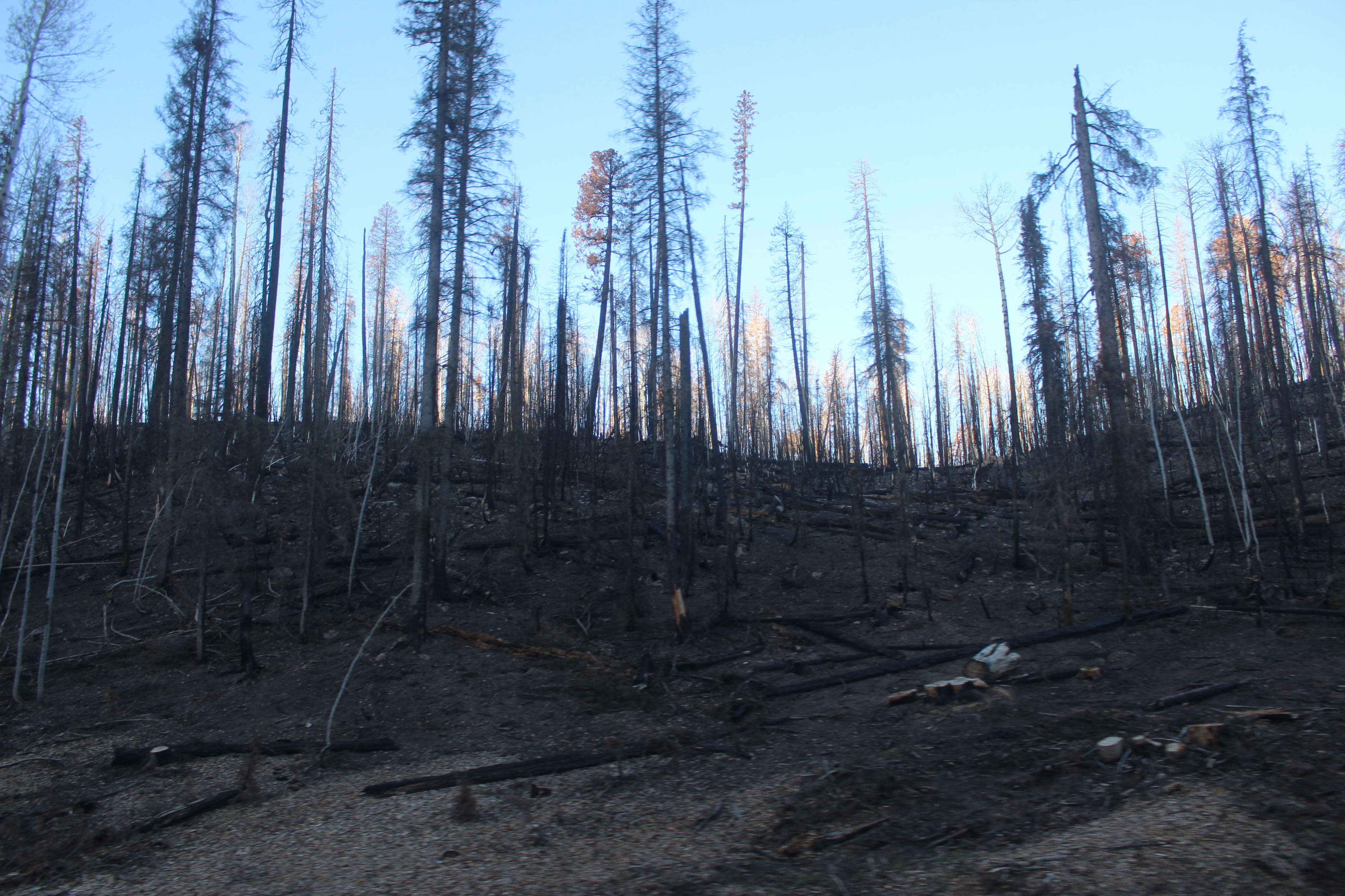
Yet the entire area was not like this: There were pockets that seemed to be entirely unaffected by the fire—areas on the same side of the road. I’m not sure if this is because of firefighting efforts or other, more natural causes. Maybe some trees fared better than others, and I was ignorant to the natural selection occurring in front of me. At the time, I didn’t process what I was seeing. It was early, and we had to hike 14 miles and descend 6,000 feet that day. There wasn’t a grand celebration to start our hike, nor did we really have a somber moment. We just went.
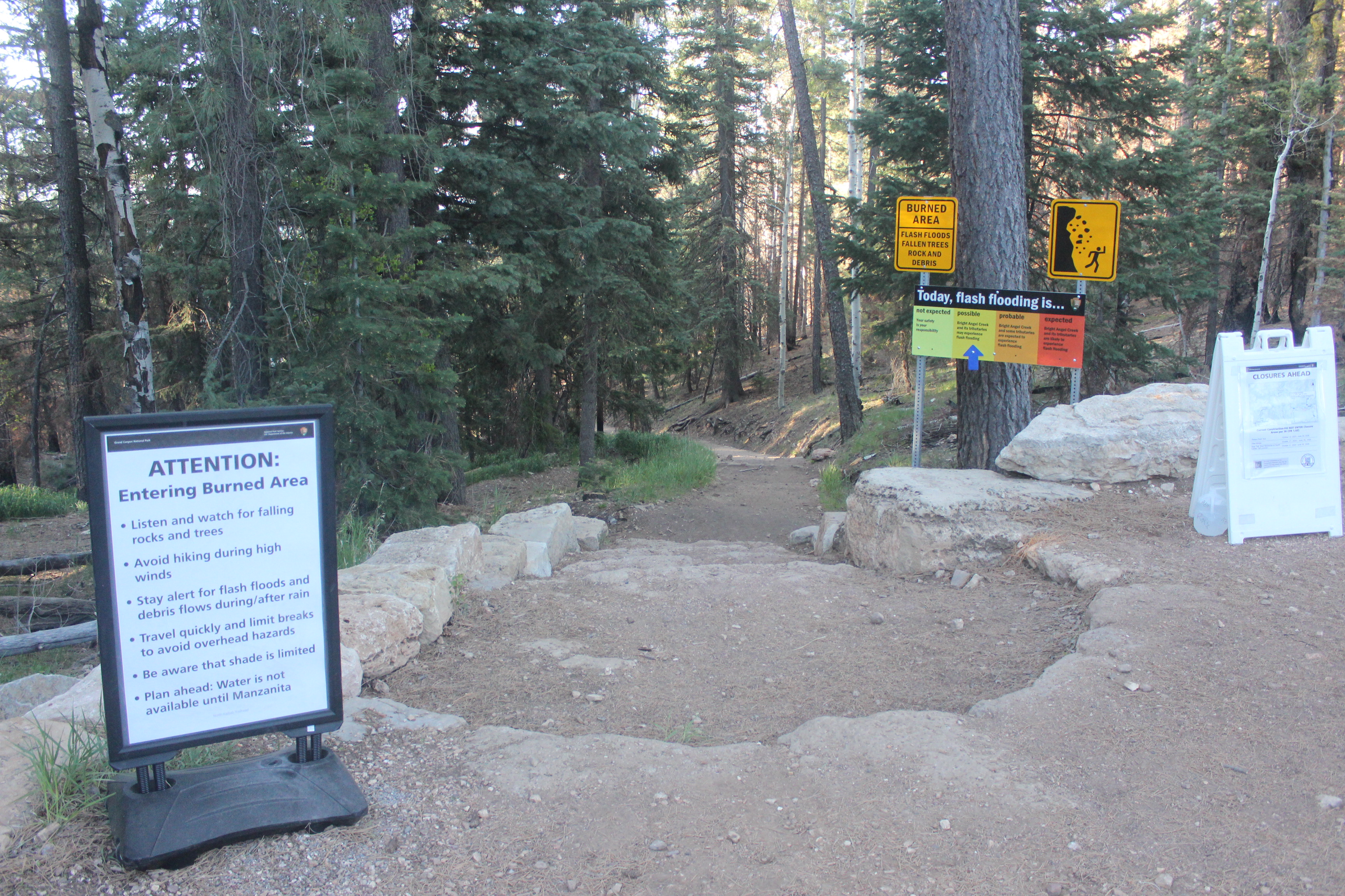
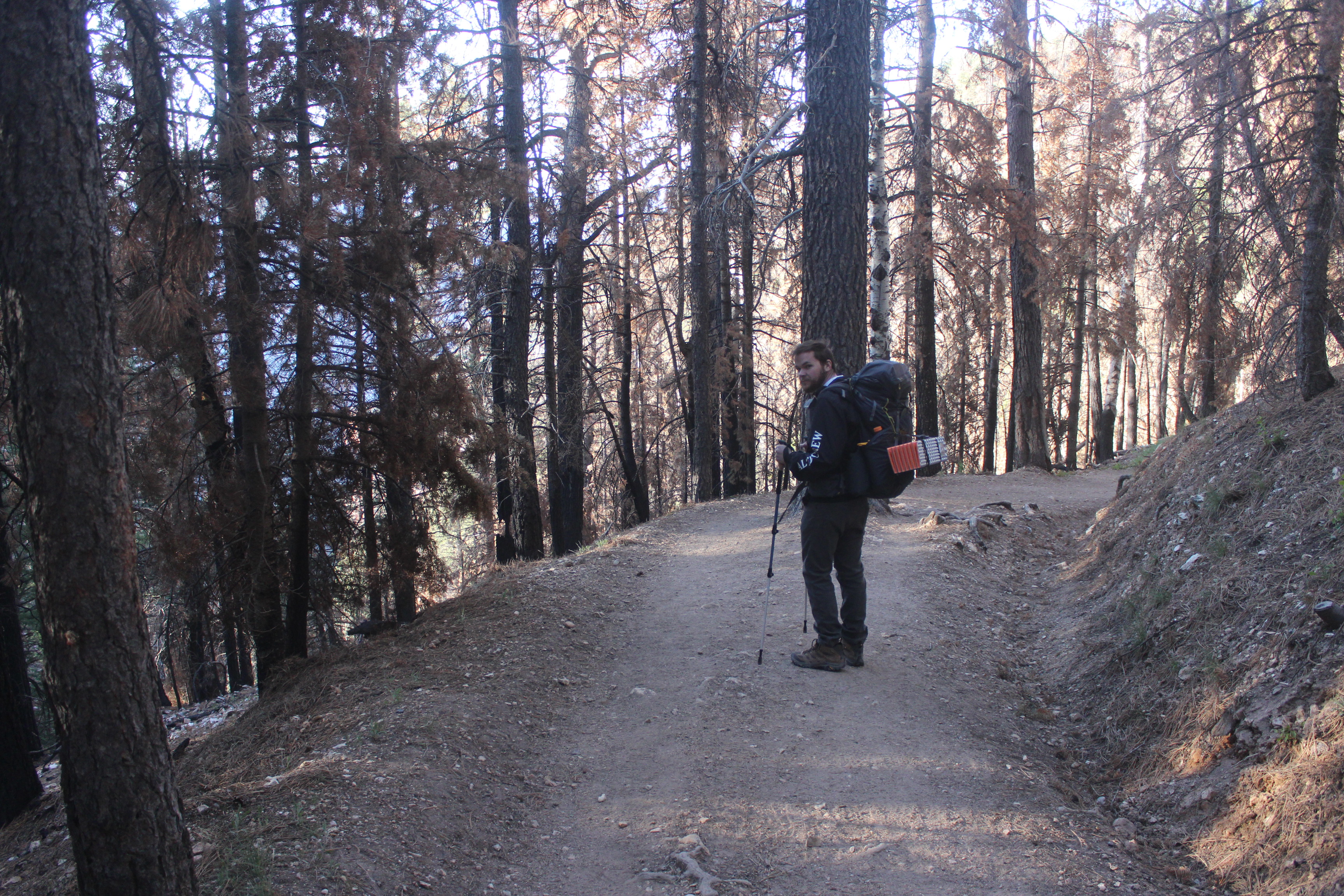
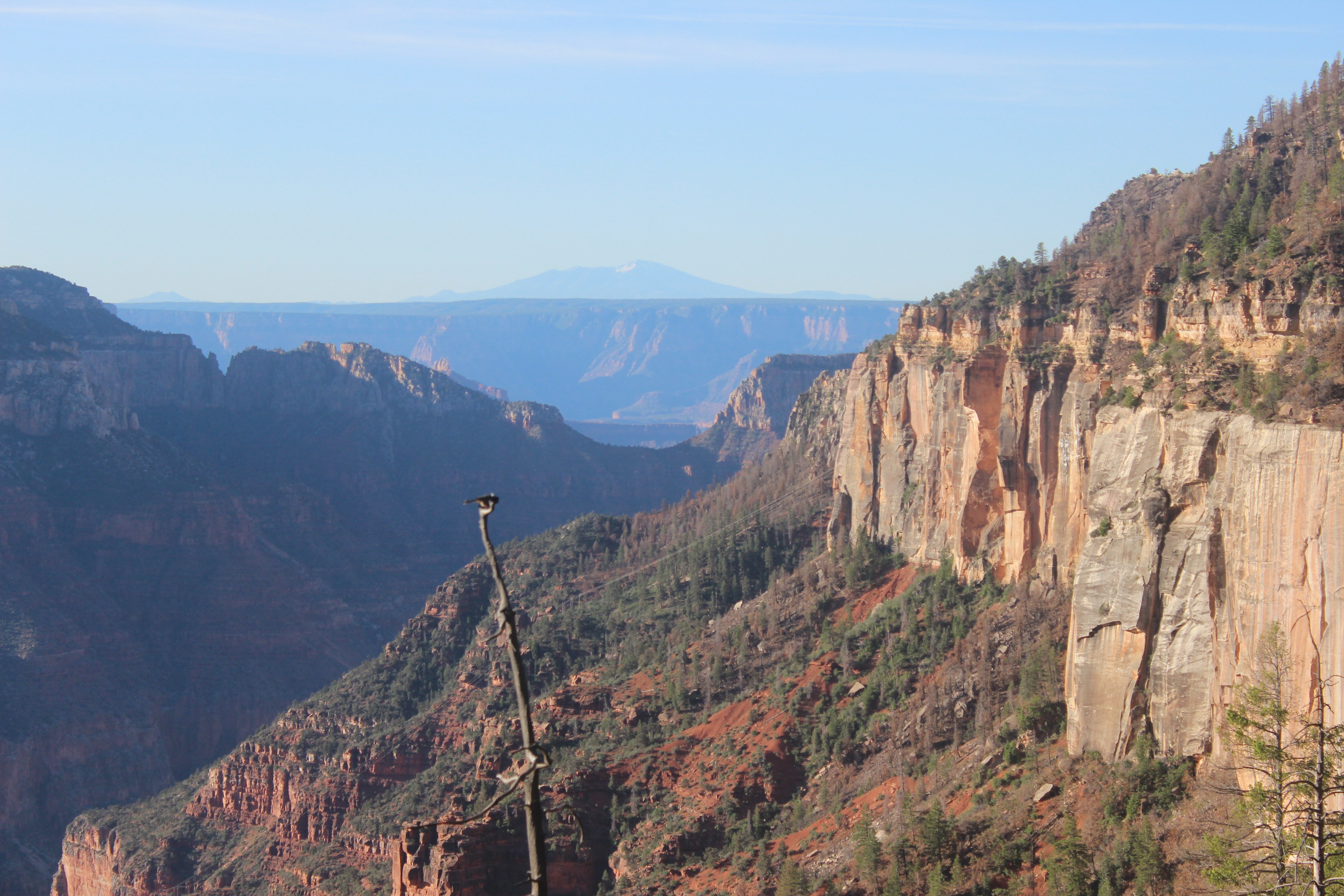
Almost instantaneously and simultaneously, my brain processed two things. The first was the high number of NPS staff repairing and maintaining the trail. I am forever grateful to the NPS staff who are doing everything in their power to work on healing the North Rim. Second, the view. The North Rim may as well be a completely different planet than its counterpart, with the canyon behaving as a cosmic space separating two distant worlds. It sits about 1,000 feet higher than the South Rim, so the ecology is completely different. You are not on a desert plain. You are in an alpine forest. It’s peaceful, remote, and quiet. It is much more difficult to reach than the South Rim, but much more rewarding. Our reward for just being there was seeing that alpine forest drop into a desert canyon and rise back up some 10 or 15 miles ahead, but since we were above the South Rim, we could see the Coconino Plateau beneath us, and serving as a backdrop to the entire scene was Mt. Humphreys, the tallest mountain in Arizona, 64 miles away.
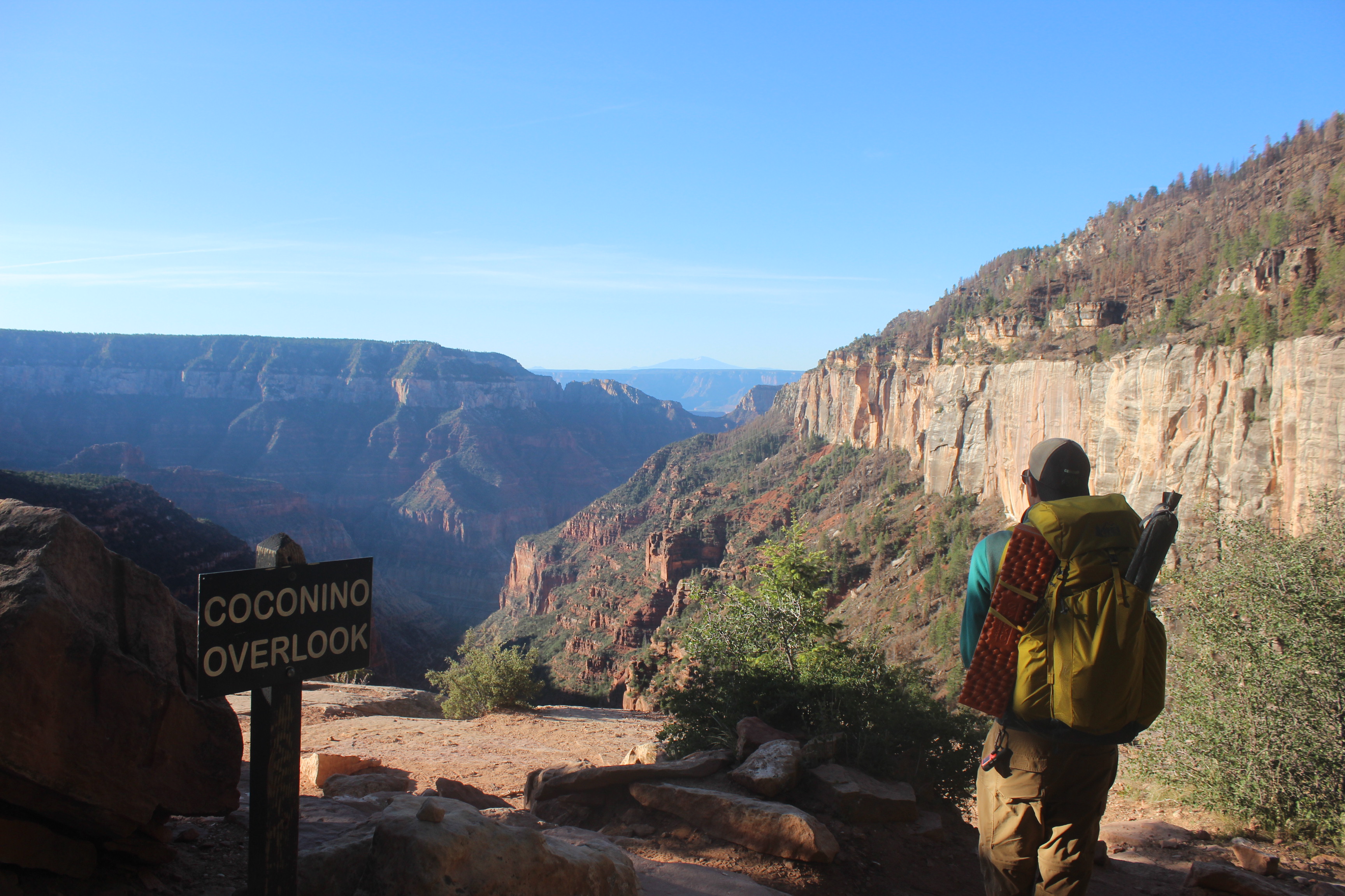
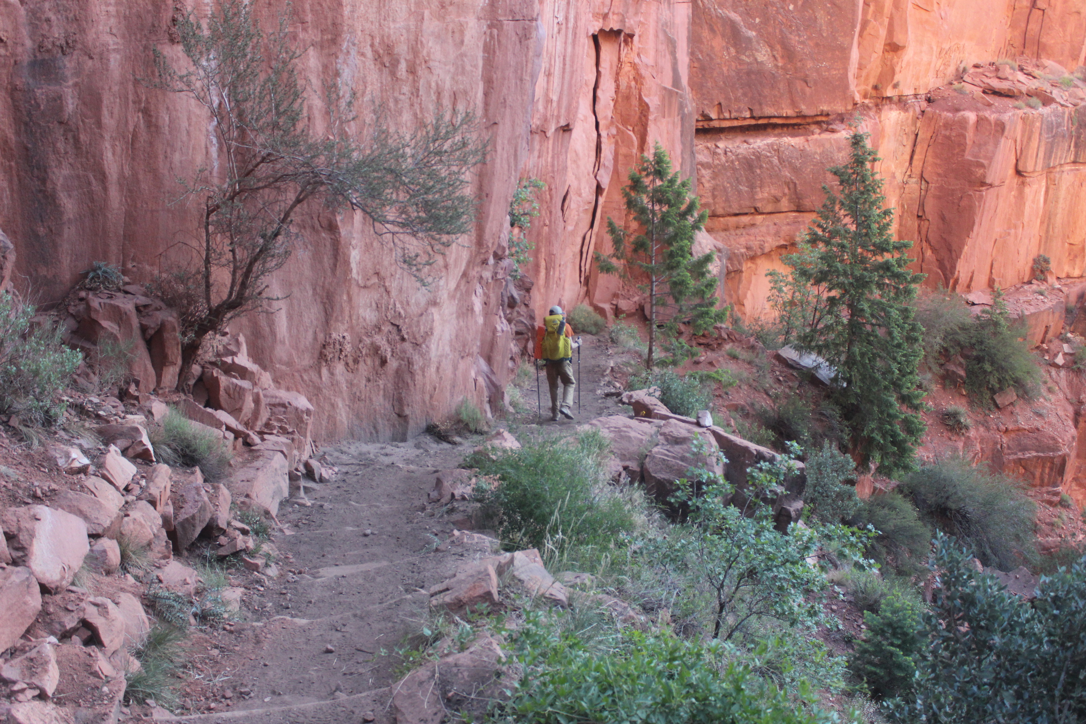
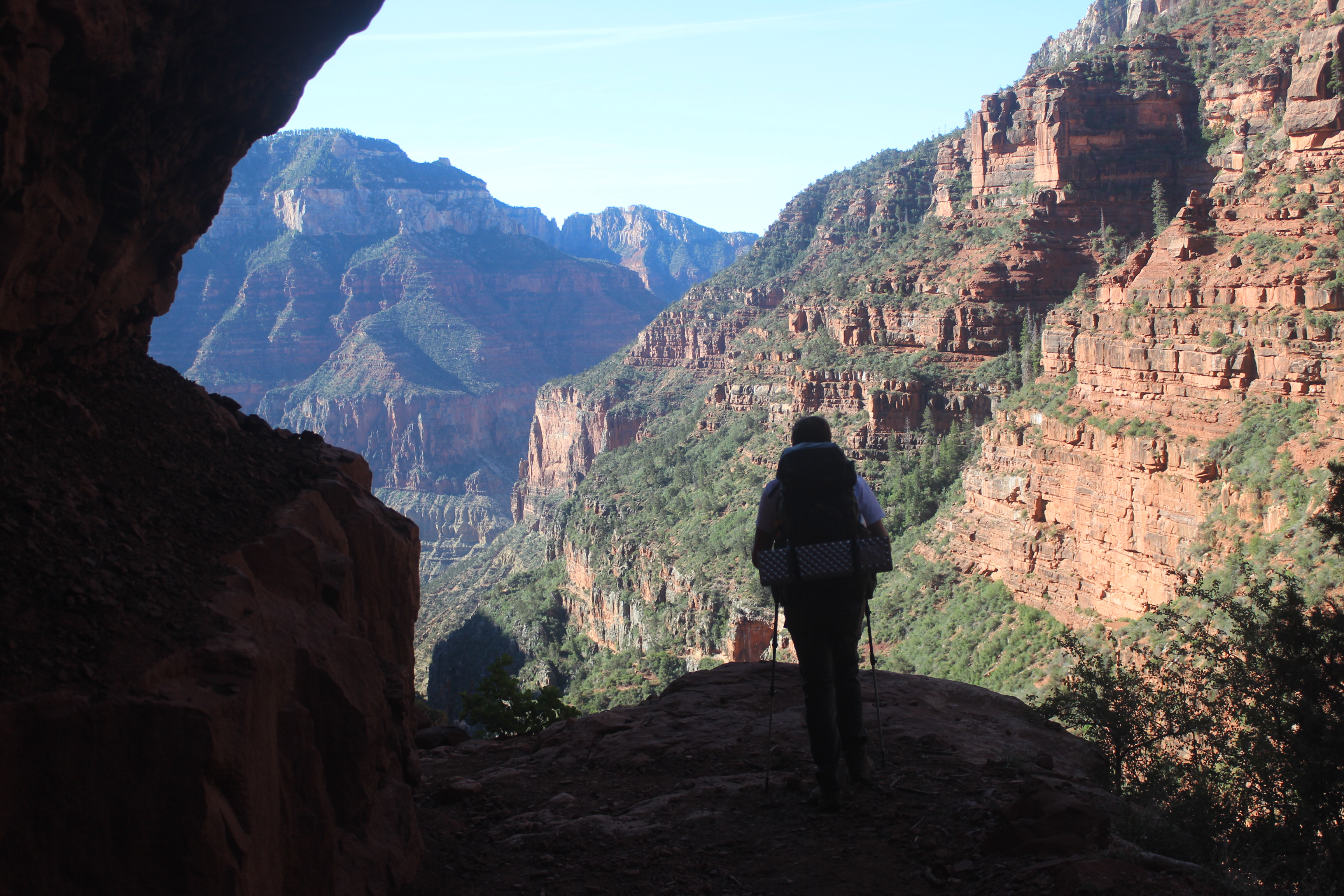
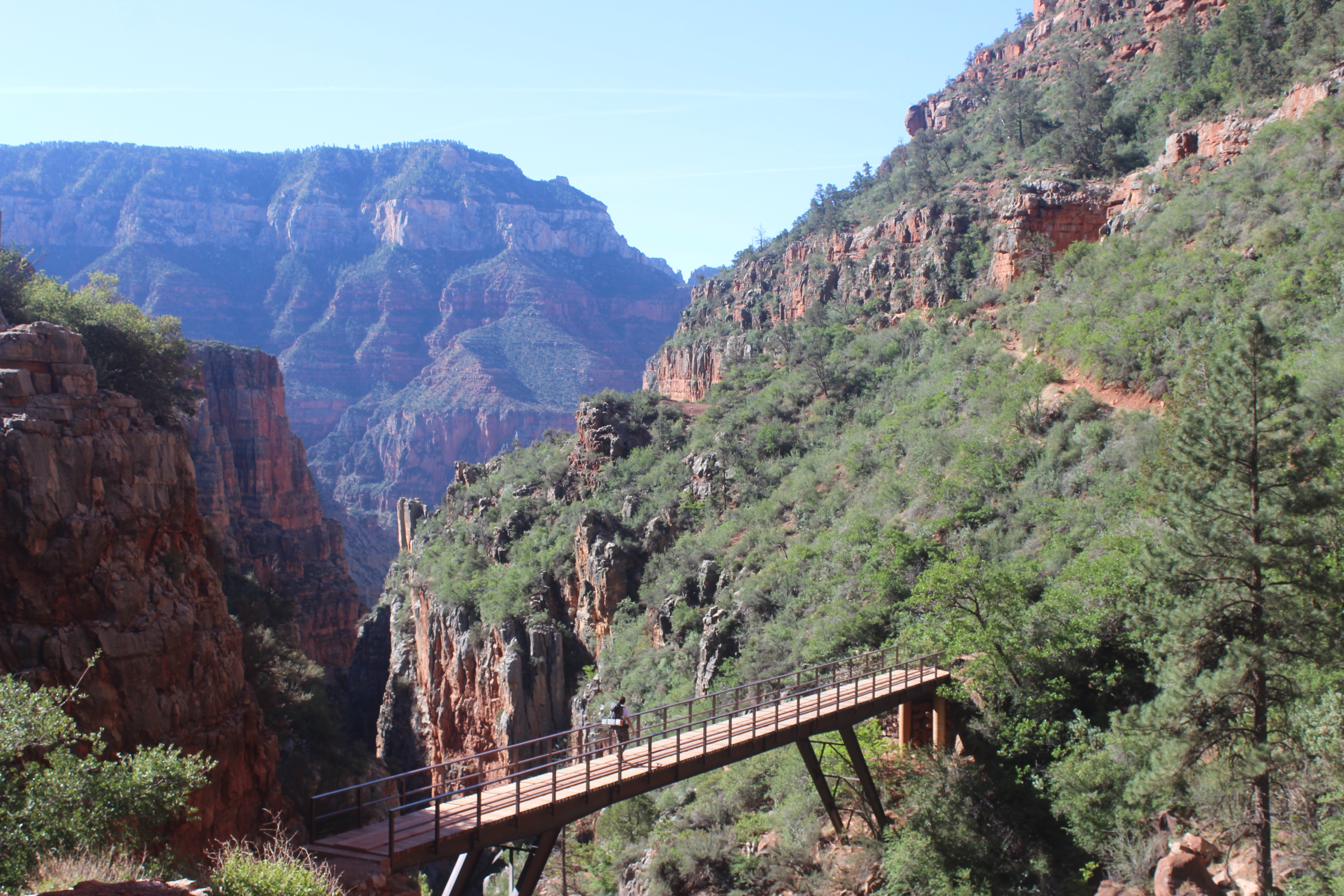
From this point until we arrive at Bright Angel Campground at Phantom Ranch, 14 miles away, words will be sparse. We had to get into a groove. We descended quickly. I would like to say that our first stop—the Manzanita Rest Area, five-and-a-half miles in—was a 3,800 foot drop. We took plenty of pictures as we descended the many layers of rock, crossed a few bridges, and clung to cliffsides.
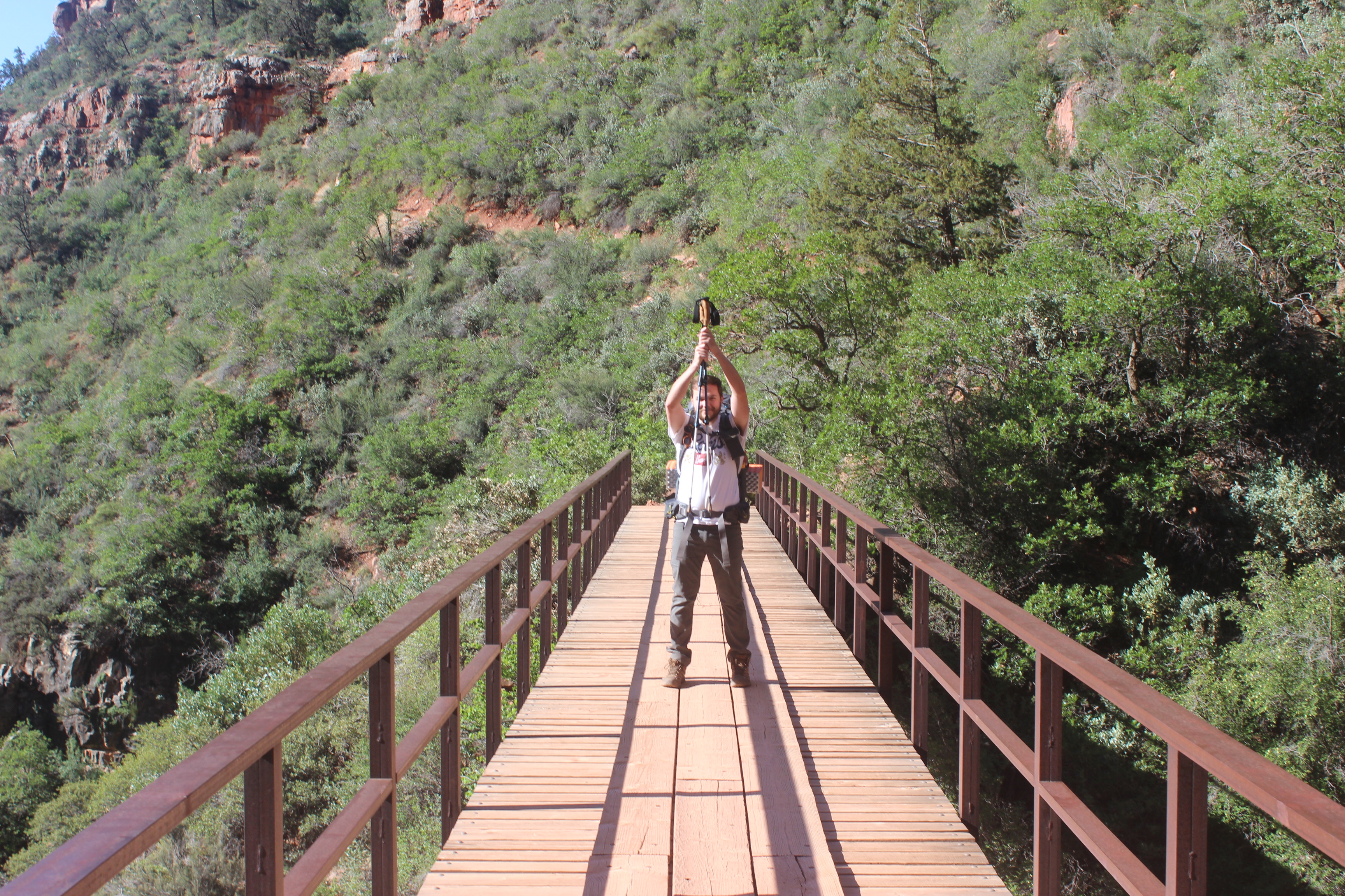
YOU SHALL NOT PASS!
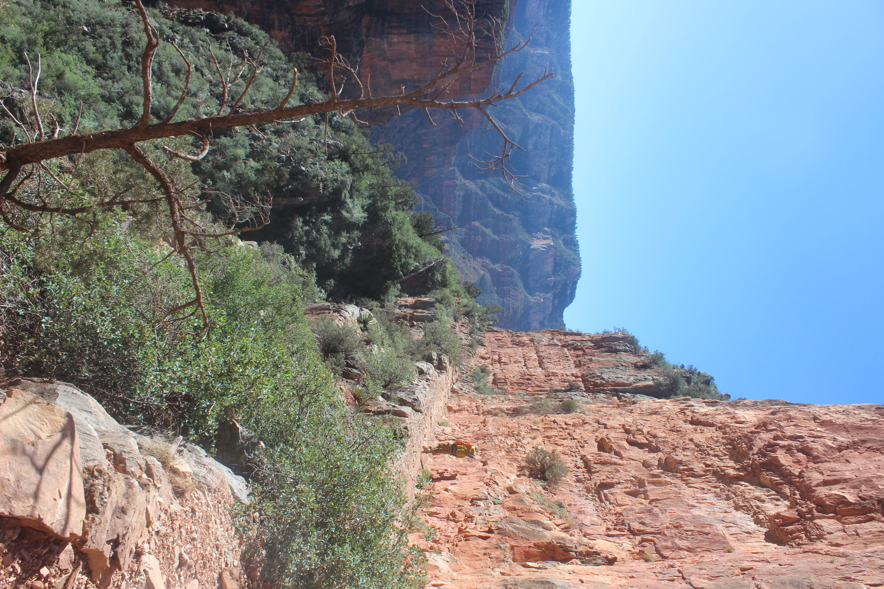
I said cliffsides.
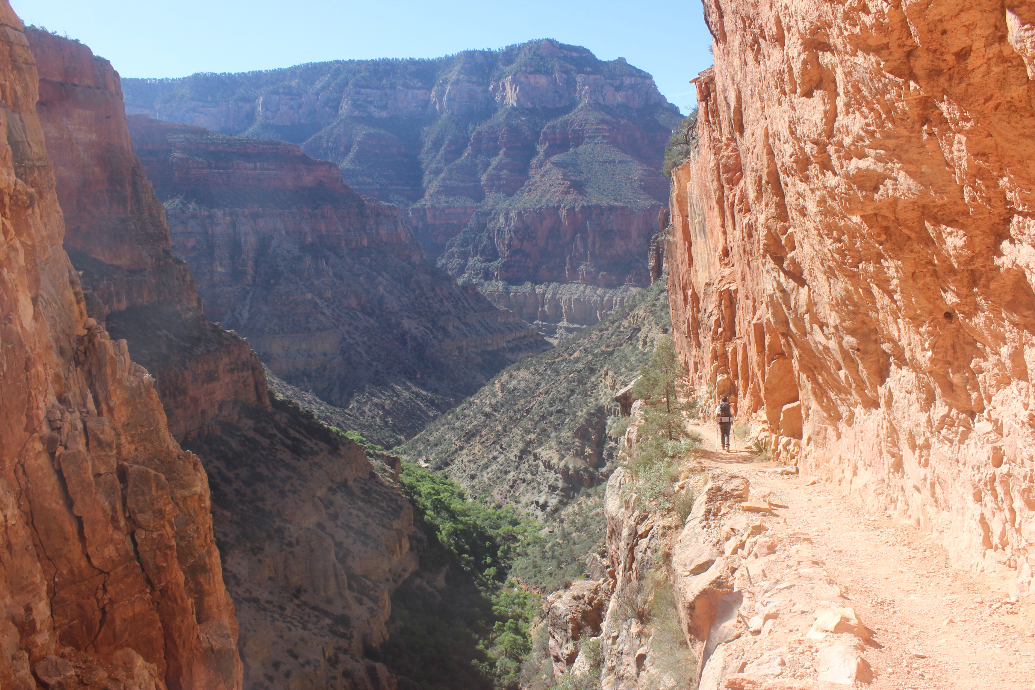
It really just kept going down.
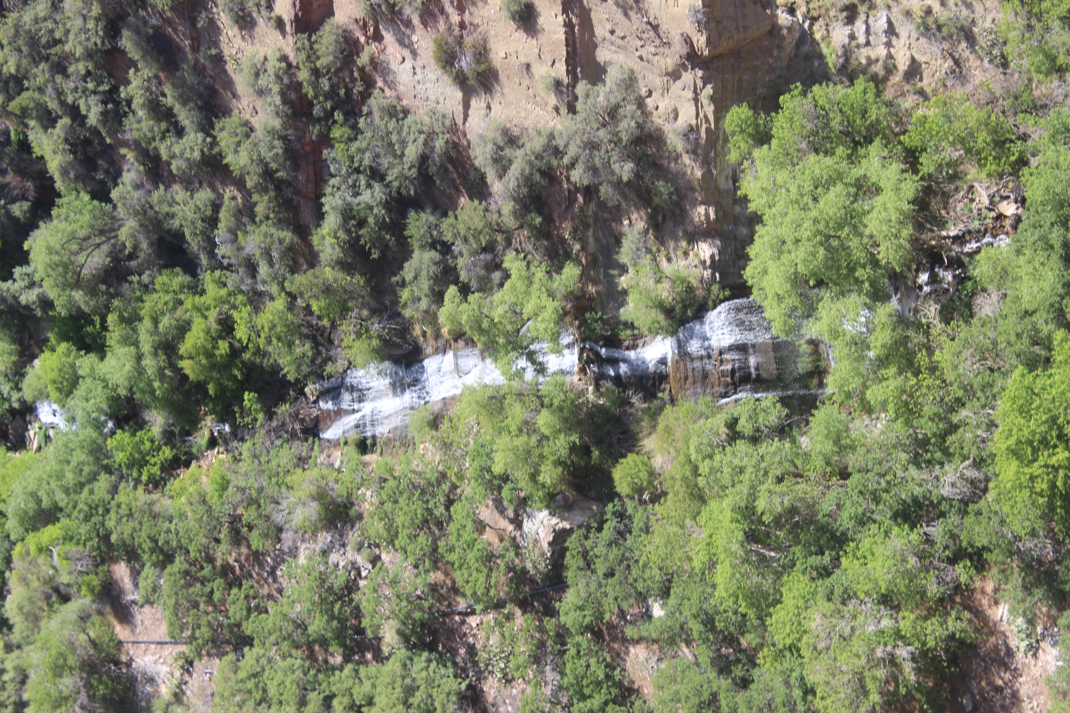
The waterfall near roaring springs. We were getting close to our first source of potable water and our first good break.
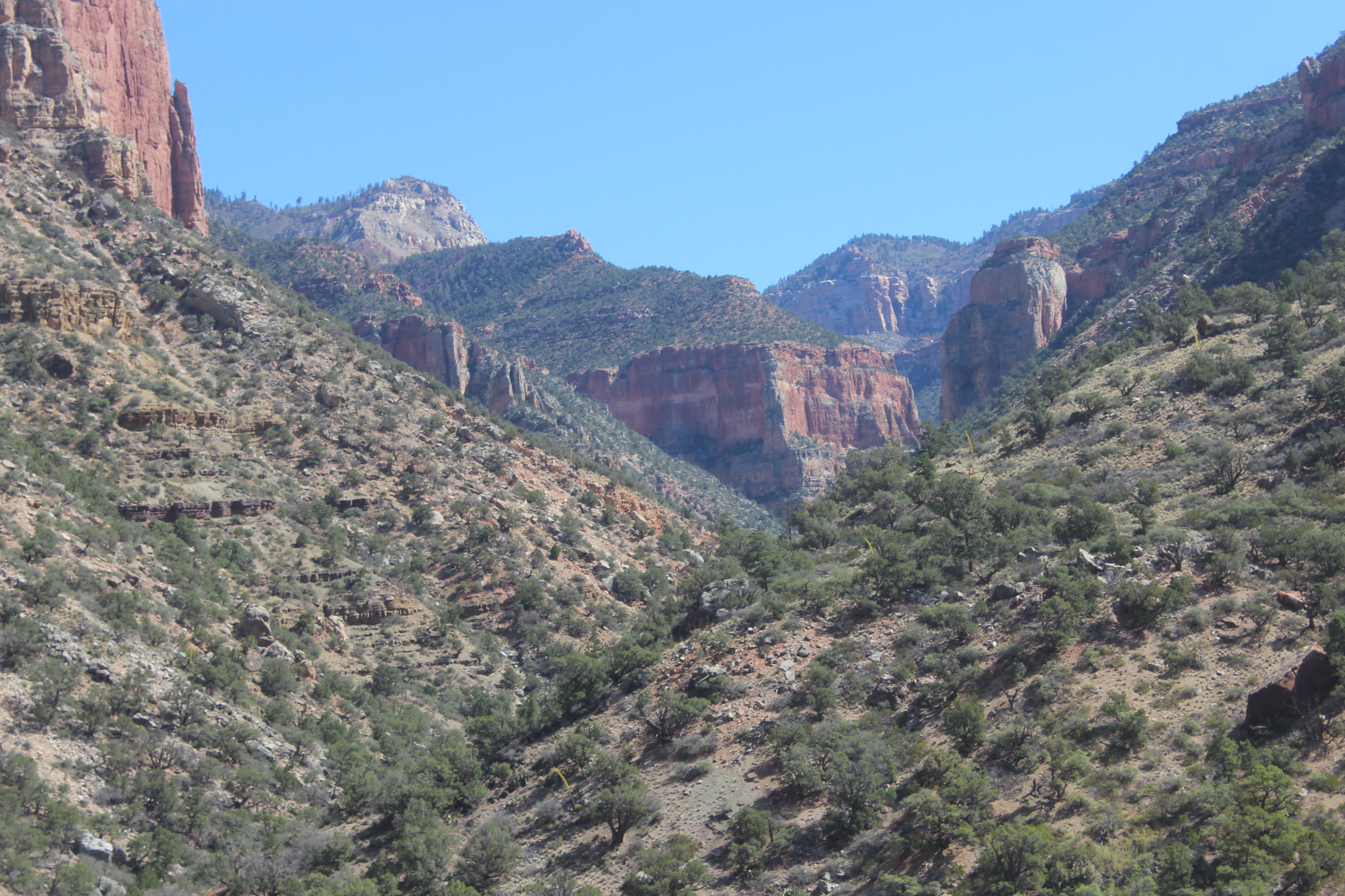
Looking back up, near where we’d started.
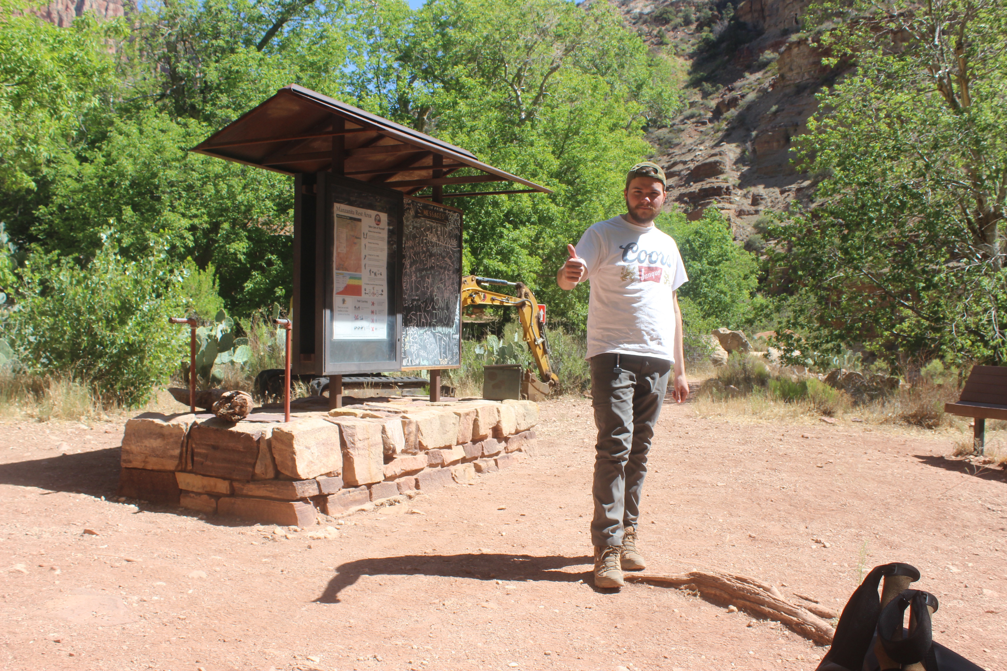
After the first part of this great descent, we made it to our first break area with potable water. We also met up with Bright Angel Creek at this point, which we would follow all the way to the Colorado River. Since it was warming up, I took the time to dip my hat and neck gaiter in the creek to cool off. Temperatures were in the mid-twenties when we were driving across the Kaibab Plateau, and as we got further down the canyon, it would soon be well into the nineties by midday.
We met a man at the rest area who was going up the North Kaibab Trail. He said he’d left the South Rim at 3 a.m. that morning and was going to head to the North Rim before turning back and doing it all again in a single day. Some people are built differently. Now, having consumed some electrolytes and salty snacks (and with our friend on his way up), we continued downward.
The trail got much more gradual here. We had descended about two-thirds of the way down but still had more than nine miles to go until Bright Angel Campground.
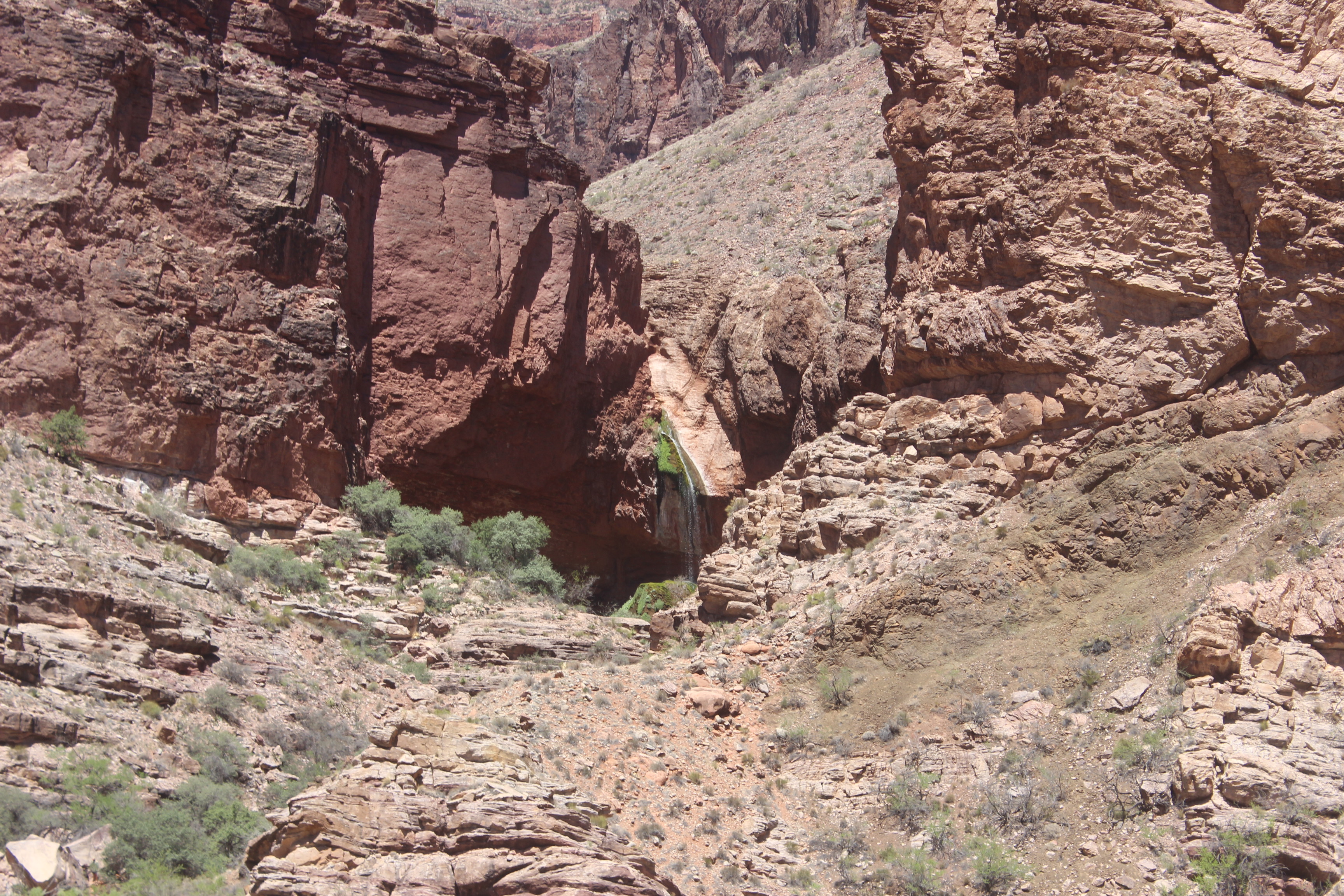
Ribbon Falls—sacred to the Zuni People, they believe this is where they emerged from the earth into the upper world.
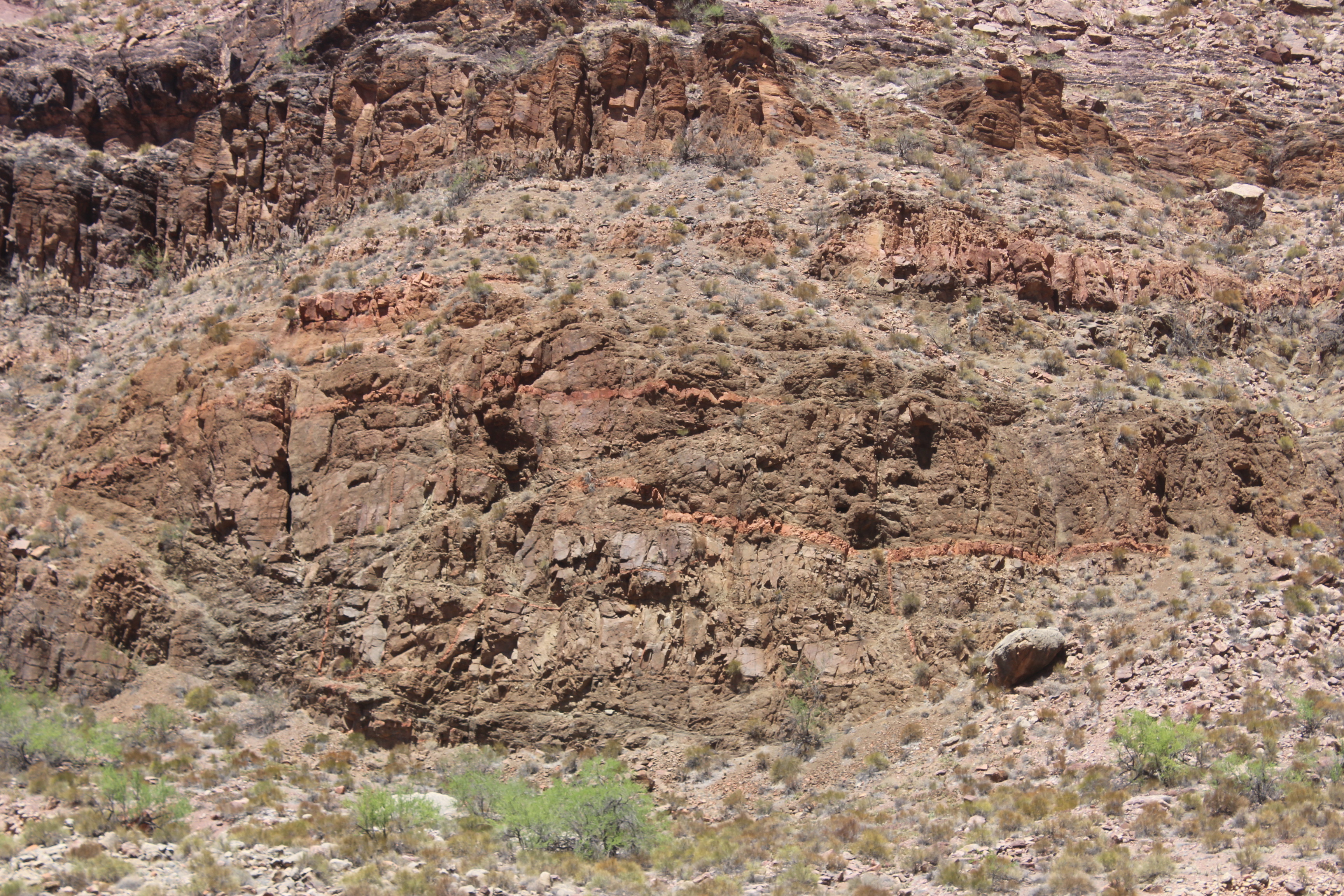
I noticed this interesting “Z” formation in the rock (the thin orange-red line splitting diagonally across the center of the image). My geologist friend told me it’s a folding deformation in a sedimentary structure. This sediment used to have a mile of rock above it, and the heat and pressure made it act more like taffy than solid rock. With some shearing, we got the nice “Z” seen here.
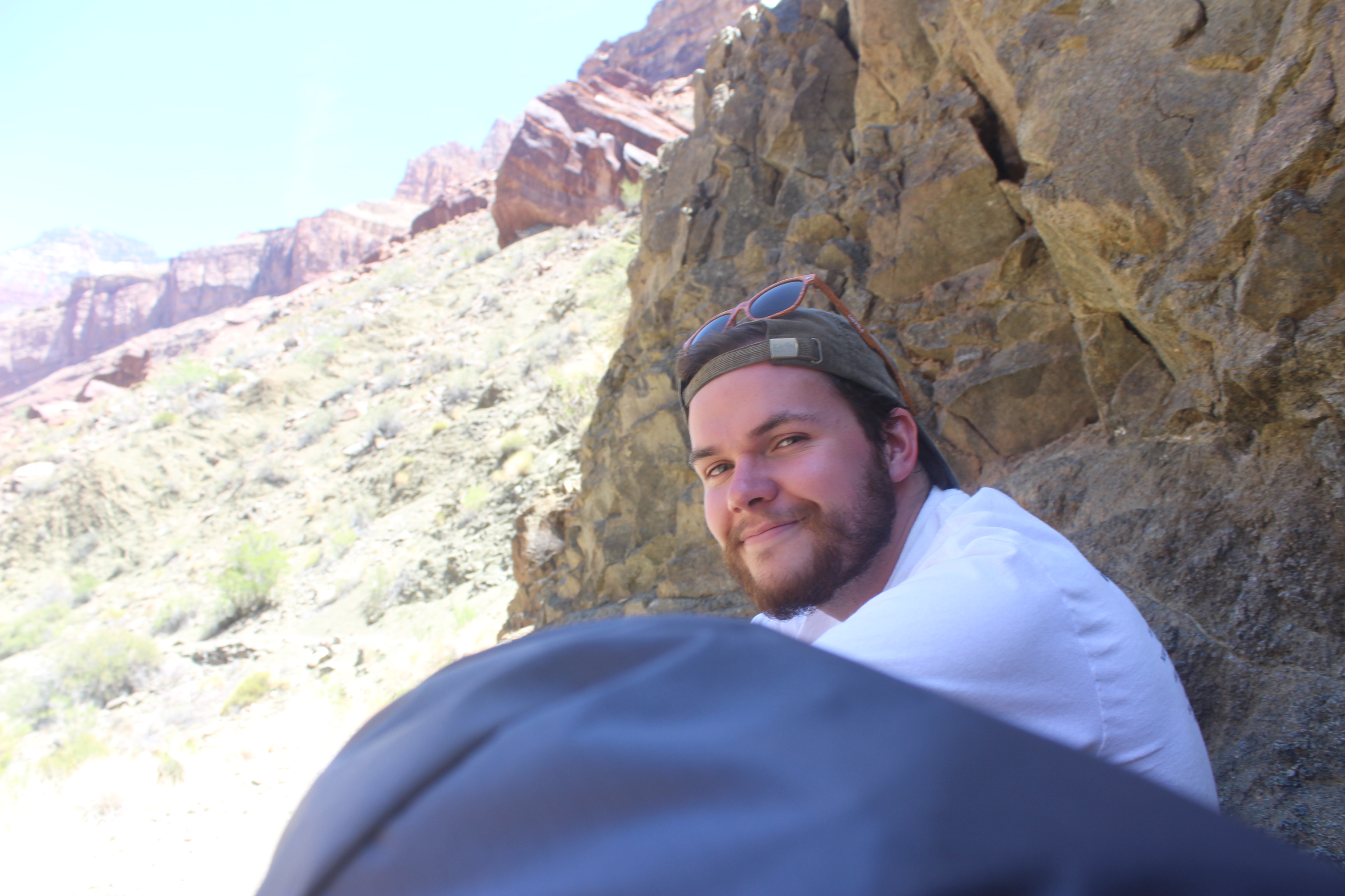
A little bit of shade means time for a nice break.
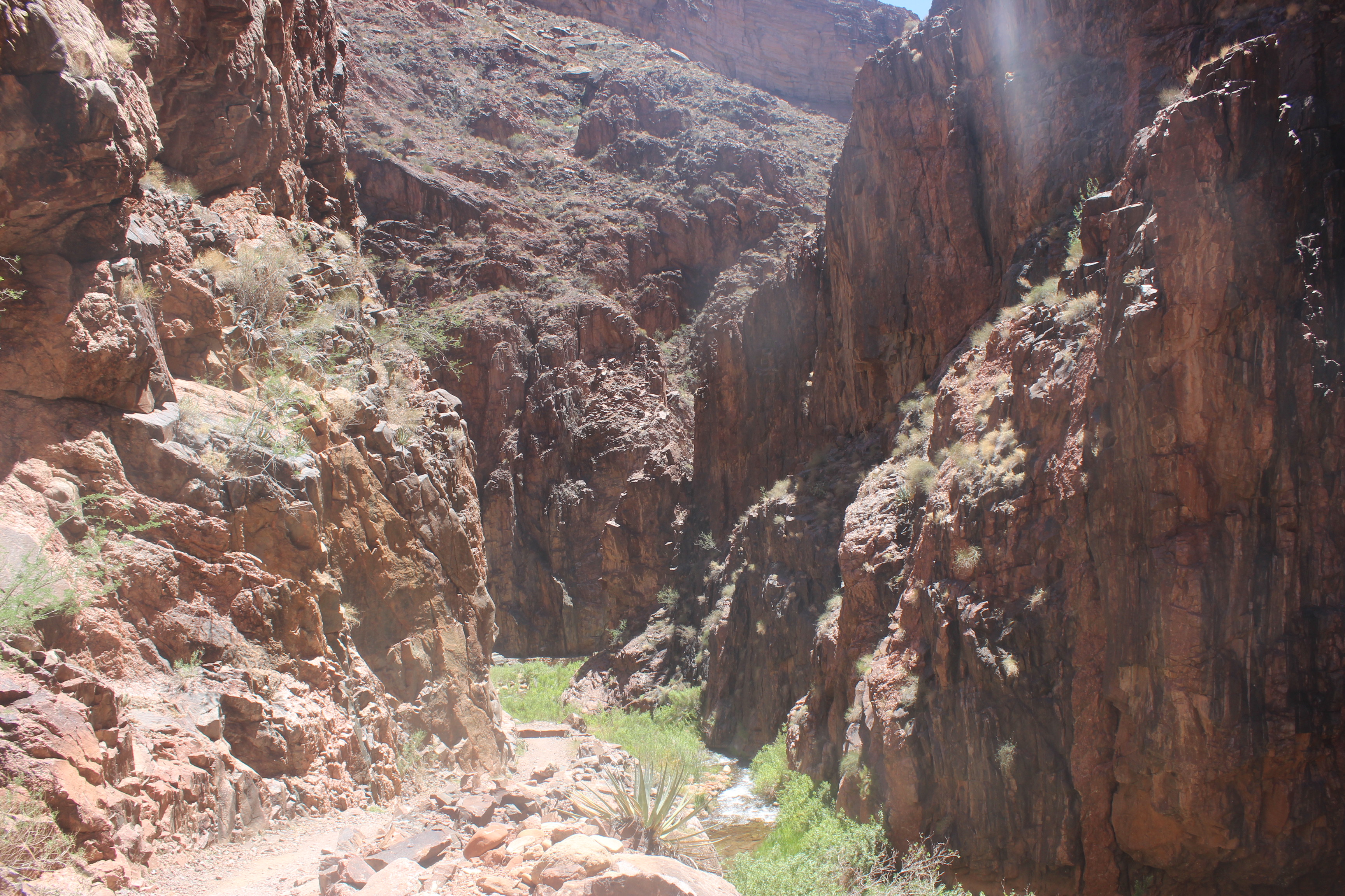
Finally, we reached the lowest part of our hike. At some point, “The Box” begins. To me it began as soon as the canyon walls closed in on us. The rock was like granite at this point; the sun was almost directly overhead, and the heat radiated off the rock with little shade. We were among some of the oldest exposed rocks on Earth here. Known as Vishnu Basement Rocks, they are almost two billion years old. When this ancient rock formed, the first multicellular life appeared on Earth. This time period was older than the first plants by about a billion years.
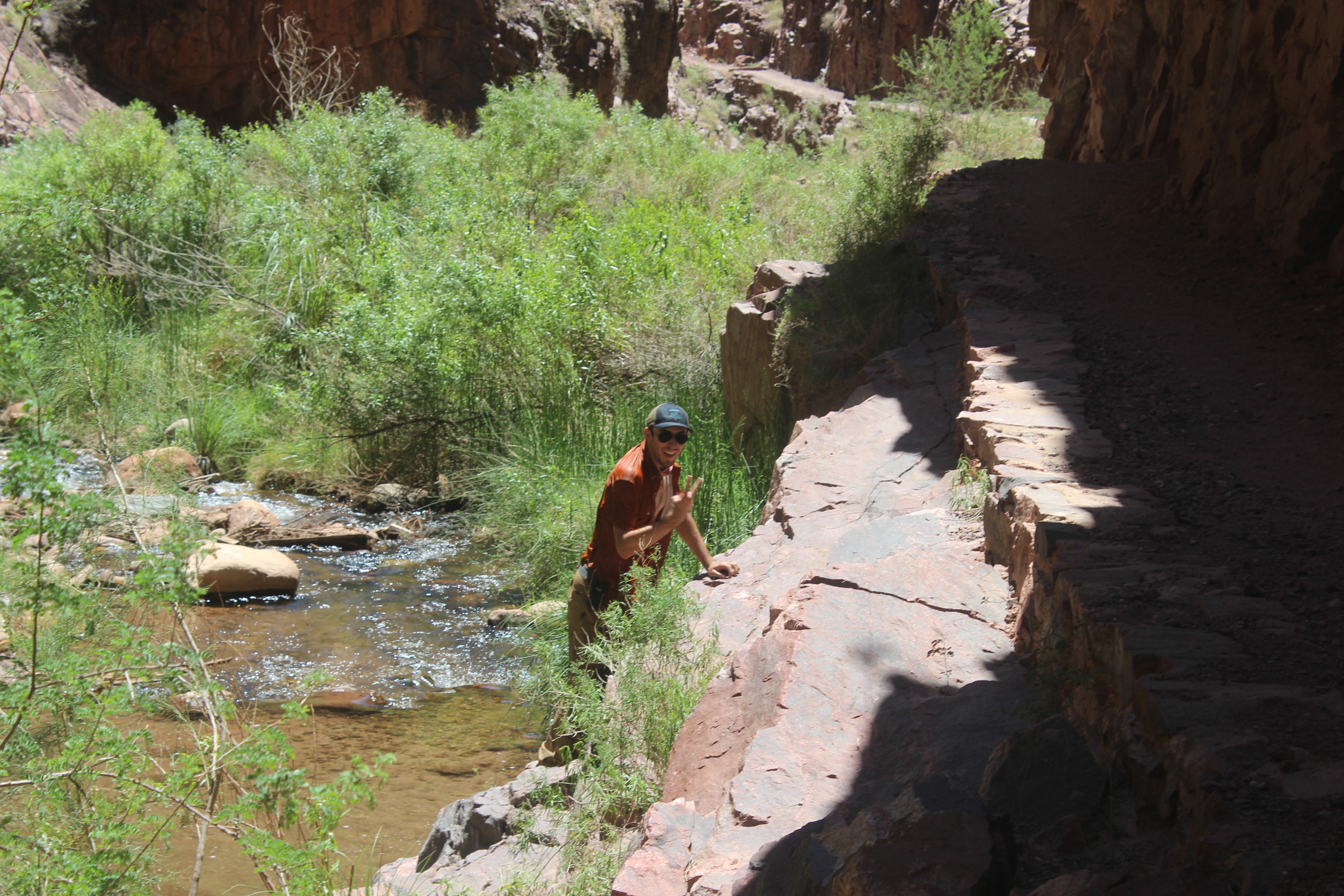
The heat was starting to take a toll on me. At a nice shaded break spot, there was an easy route down to the creek. I doused my hat, gaiter, and shirt into the creek water. The water was probably between fifty and sixty degrees fahrenheit. It was the best feeling ever. I’m not sure anything will compare to putting on a cold shirt after baking in the oven that is the bottom of the Grand Canyon.
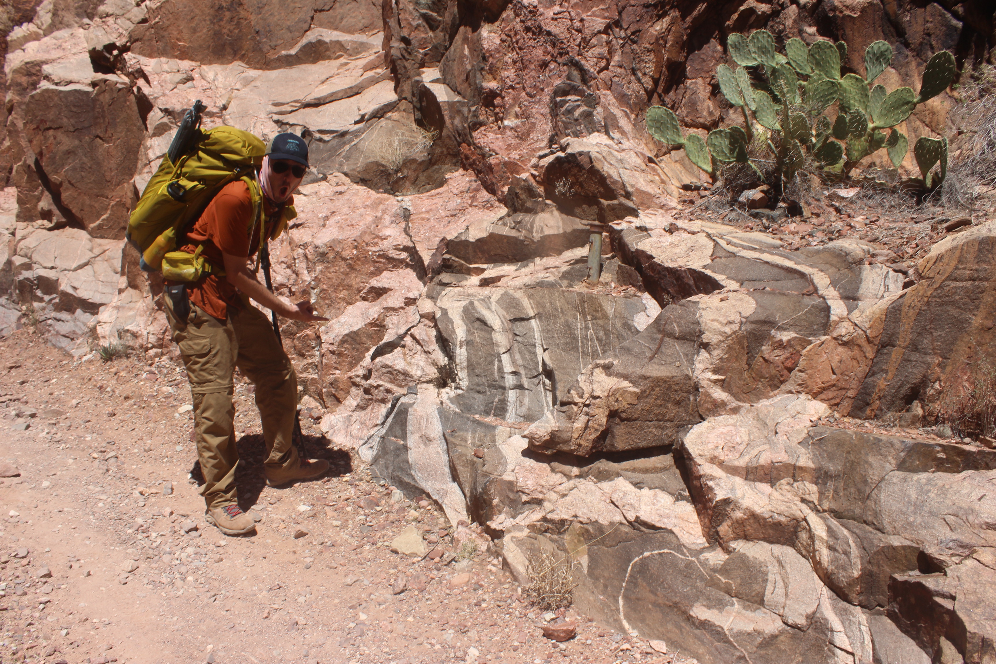
I thought this rock looked super cool.
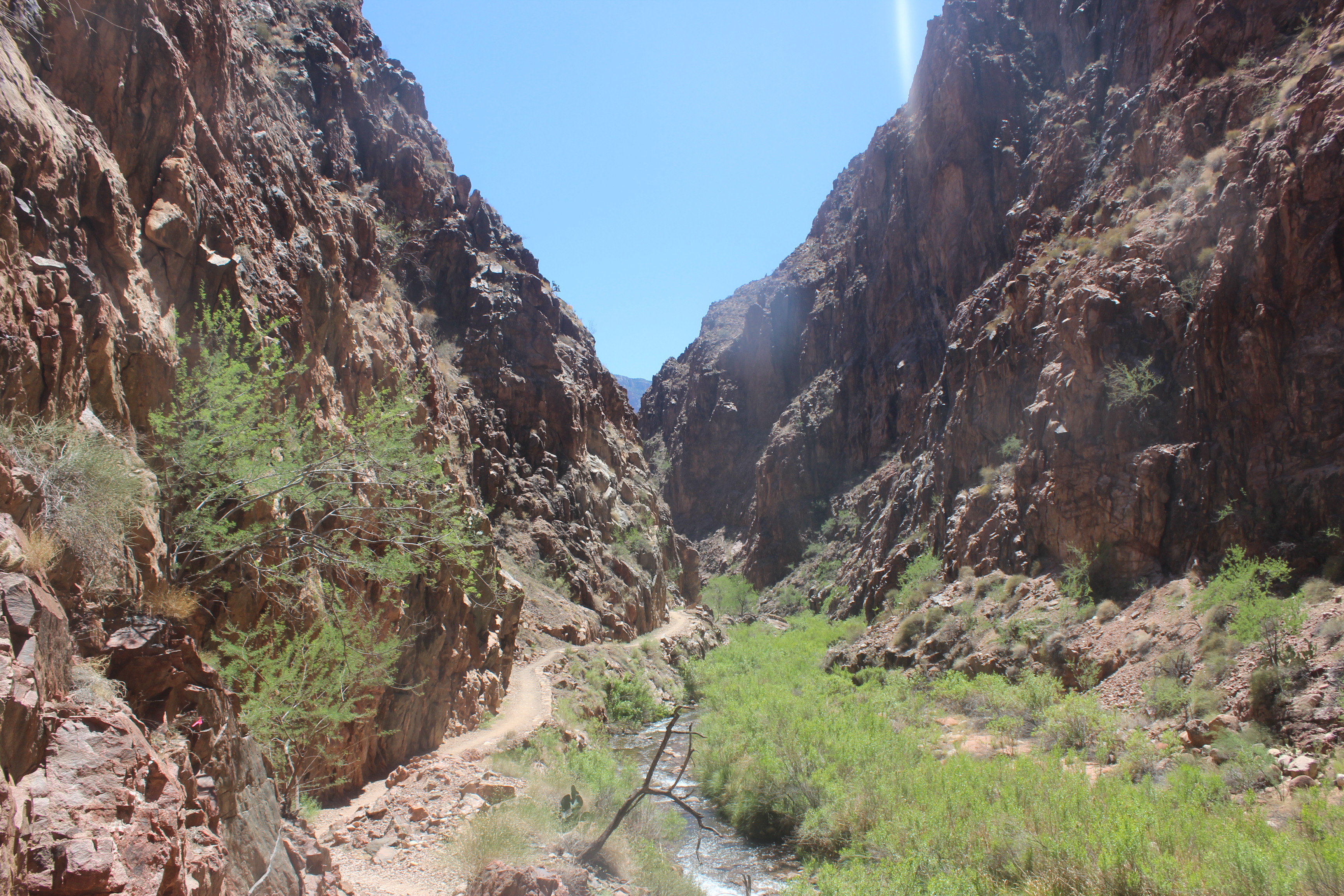
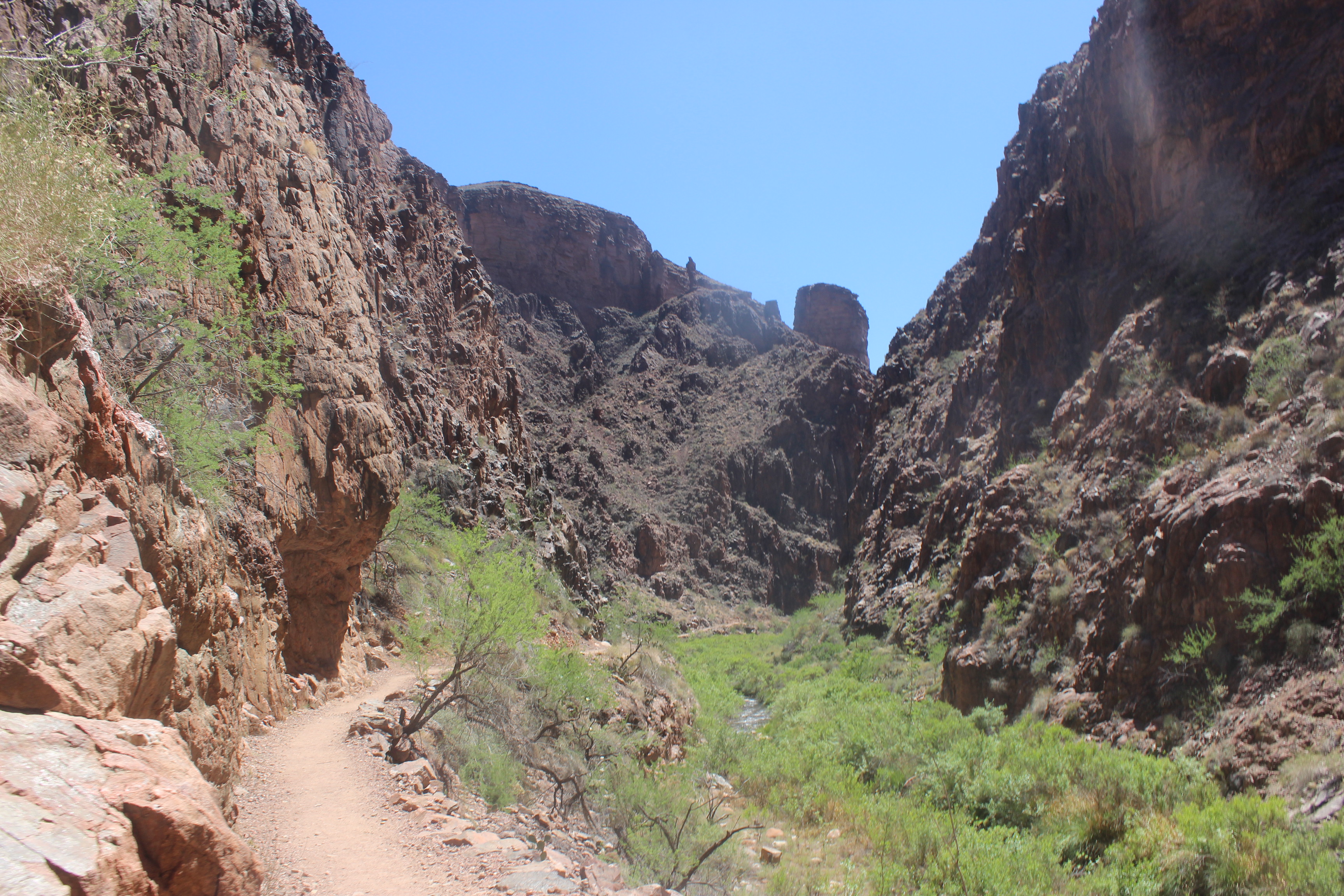
I lost count of how many bends in the trail there were like the ones you see in the pictures above. Our map only showed a few, but it was clearly just an approximation. We were almost to camp (and dinner) at this point, but the canyon was taunting us. There were even more bridges than labeled on the map. We knew after one of these bends that Phantom Ranch would be right there.
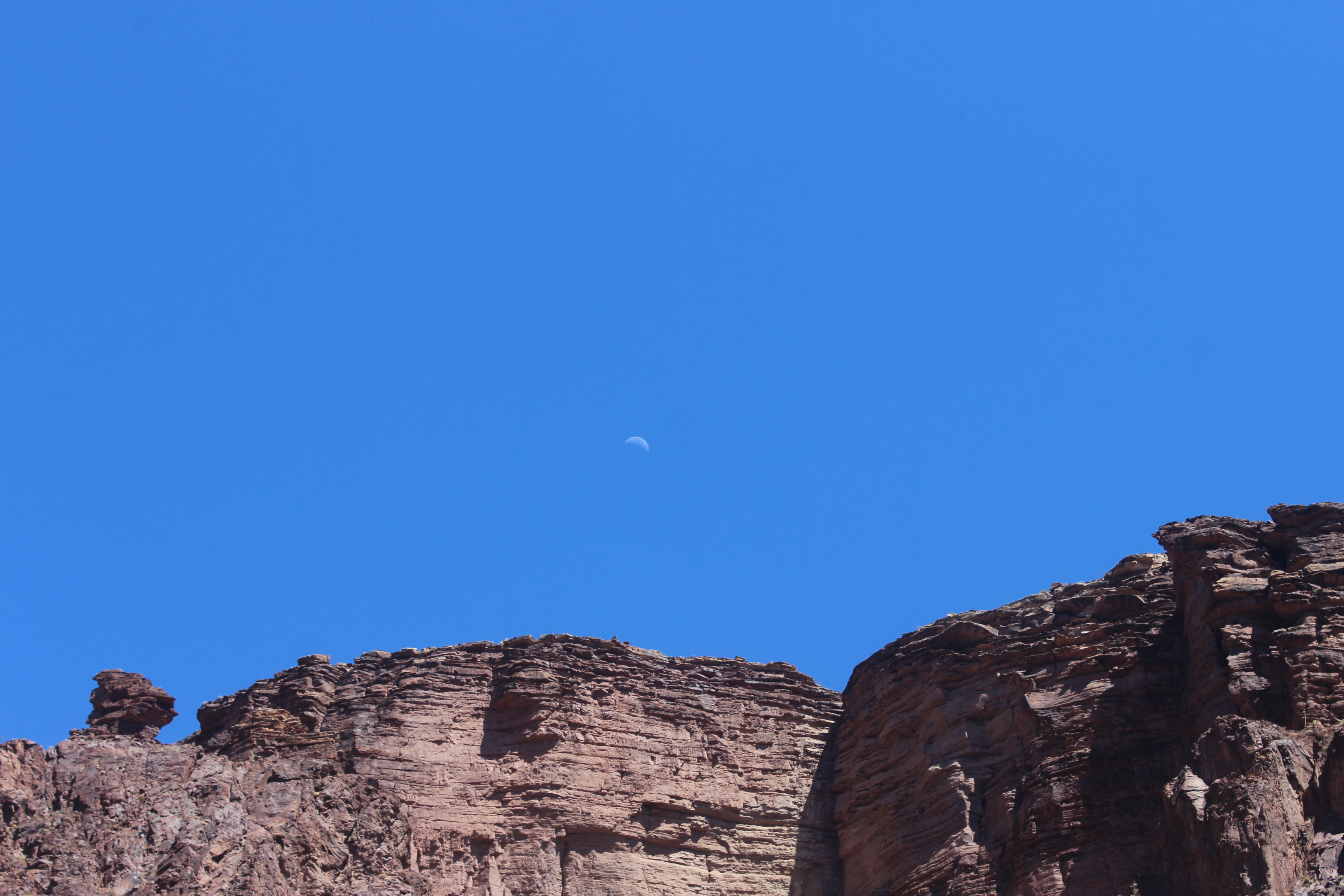
It was pretty demoralizing. Shockingly, after one of those bends, Phantom Ranch was right there!
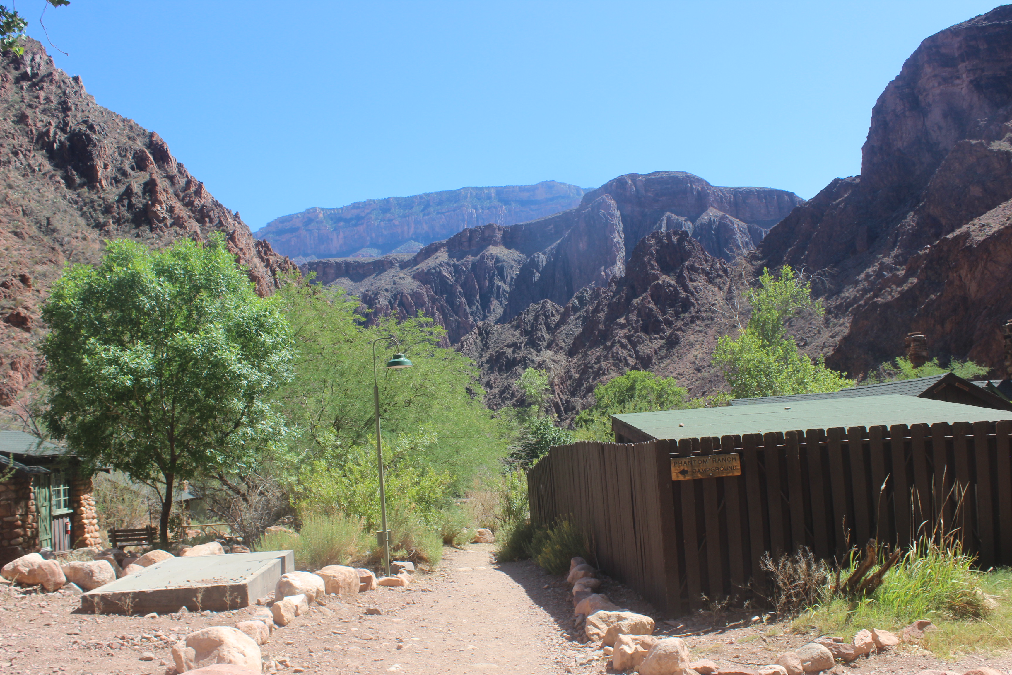
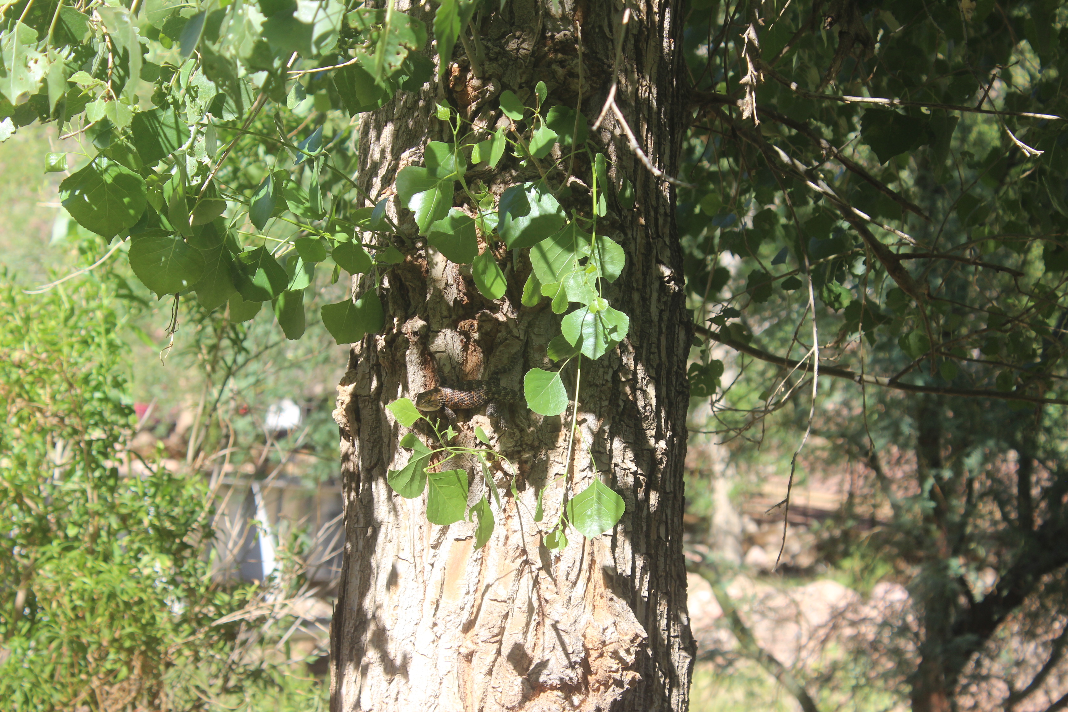
We were about 10 feet from the door of the Phantom Ranch Canteen when I felt an excruciating pain shoot up from my right knee. I tweaked it literally right at the bottom. It hurt like hell to put any weight on it or move it. I dealt with stabbing pains in my right leg for the rest of the evening.
“Guess that’s a problem for tomorrow,” I thought.
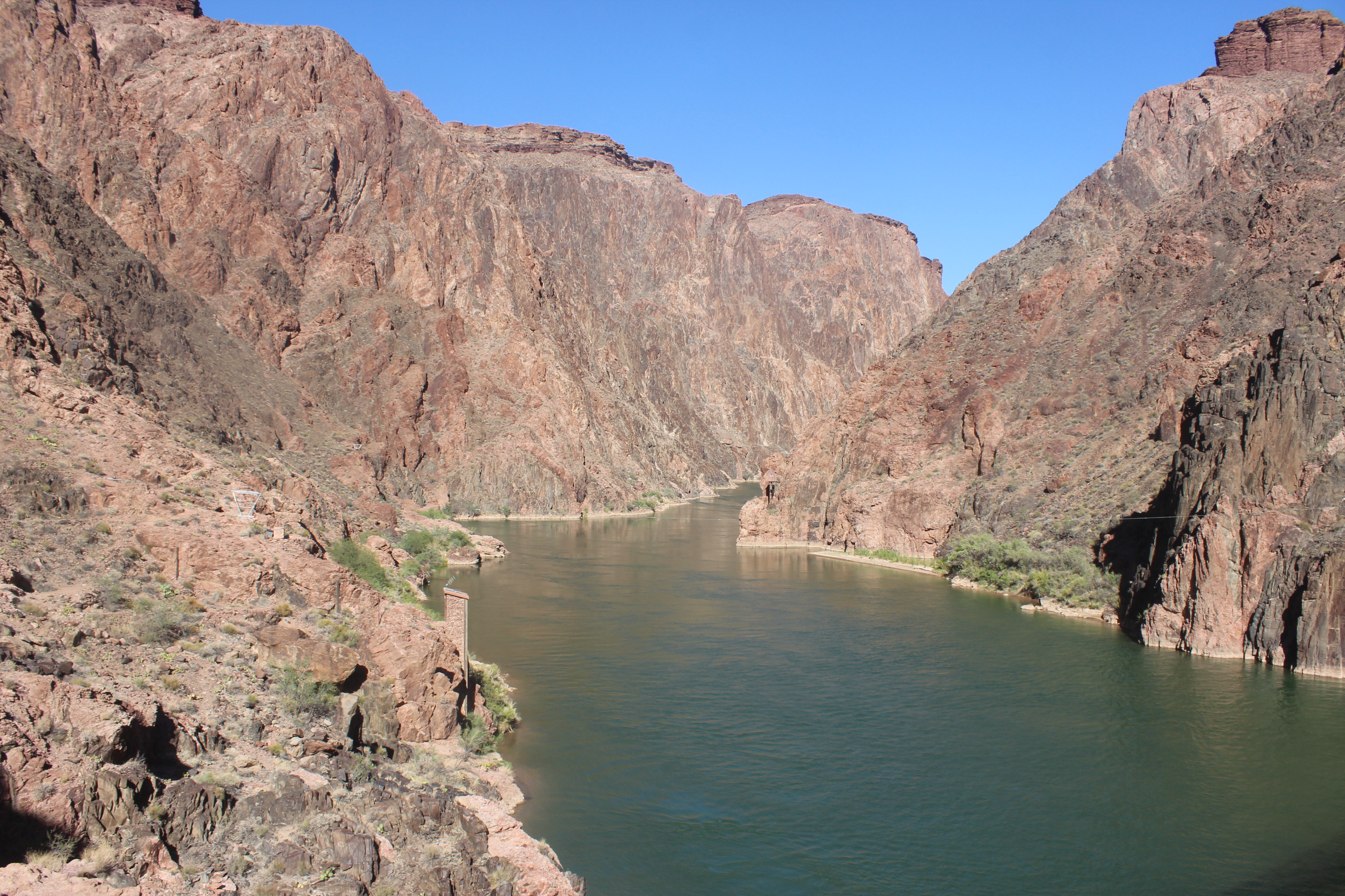
We would set up camp and eat a steak dinner at the canteen, and I would stretch and rest. Ethan went down to the Colorado River to grab some pictures while I vegetated in the tent. When I fell asleep at about seven p.m., it was still light outside.
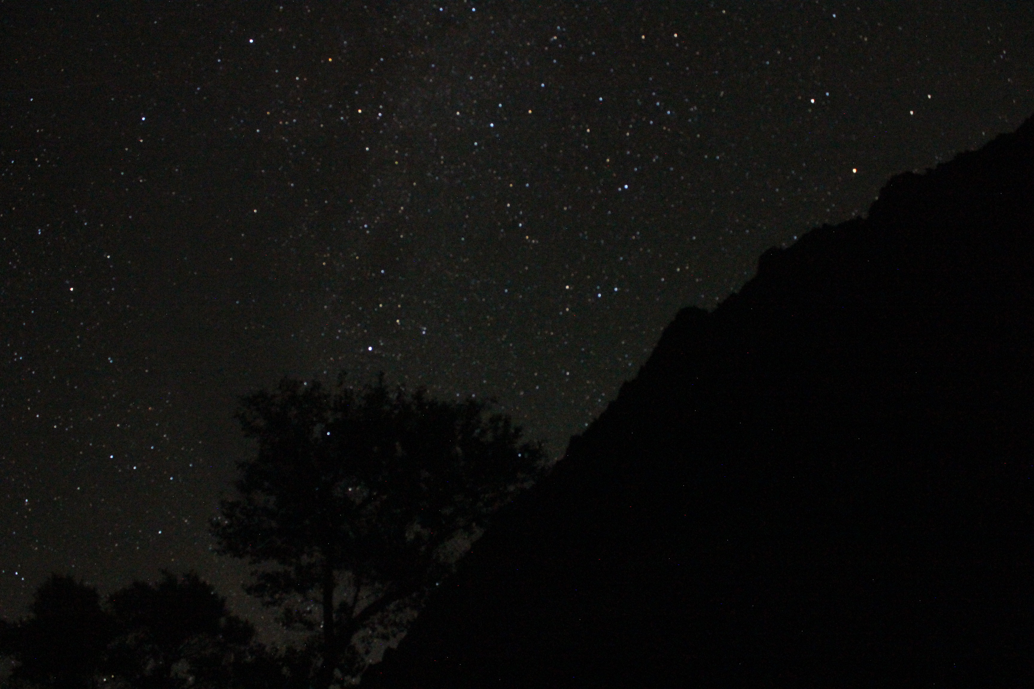
We woke up at 3 a.m. the following morning to pack up camp and begin our hike out—temperatures would be much cooler before sunrise in the hottest part of the canyon. My leg felt a little better, but I was still in much pain. Mentally, I was conjuring backup plans in case it got too bad. Could we camp about halfway up the canyon at Havasupai Gardens if my leg was barely functioning and we begged the rangers? That seemed like our only option, other than toughing out the whole 11 mile hike with 5,500 feet of elevation gain in a single day.
A few things were in our favor that day. First, there were more sources of potable water along our route. It was about six miles to Havasupai Gardens, the first source. Beyond that, water would be available every mile and a half. Second, the hike was shorter by a few miles. Third, and finally, our earlier start meant that we would be spending less time in searing heat.
The first part of our route took us up the South Kaibab Trail. We crossed the Colorado River and encountered the first set of switchbacks. I was out of breath, and my knee was bothering me in record time. I had to stop repeatedly (and far too frequently) to either catch my breath or relieve the pain in my right leg. My breaks also meant that we were losing time. Every moment that I stopped, the sun was creeping closer to the horizon, and the granite was warming. I was at my lowest here; I worried for a bit that I wouldn’t be able to do it. I quickly downed some energy gummies and a protein bar. Slowly, and despite my leg, I was able to get into a slow groove and put one foot in front of the other. After two miles, we reached the top of the first rock layer as the sun crested the horizon. We were a little more than 1,000 feet up from the bottom of the canyon. Twenty percent of the way up!
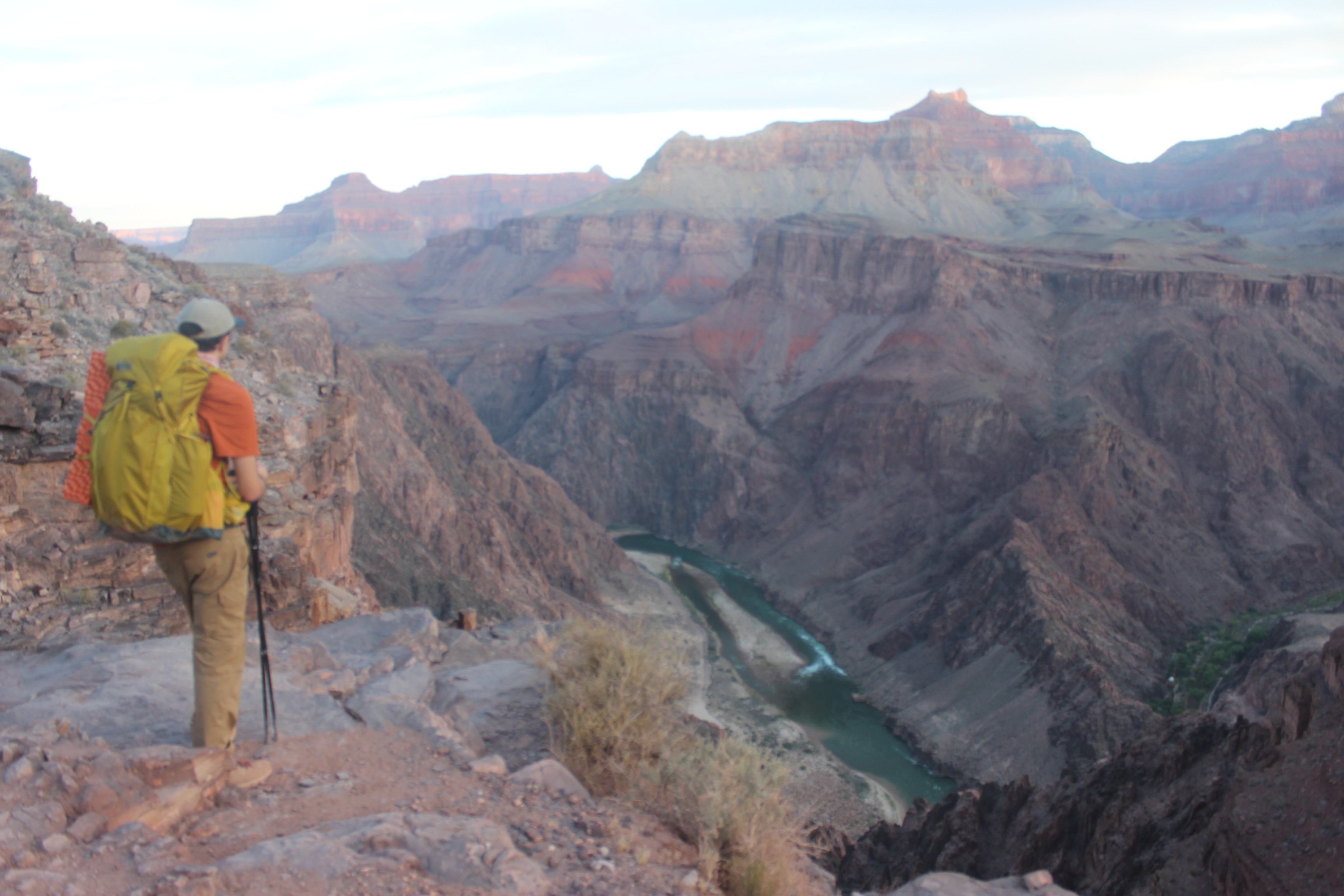
We’d made it to The Tipoff. Here the Tonto Trail traverses the Tonto Platform, a 500 million year old layer of sedimentary rock just above the Vishnu Basement Rocks. Here hikers face a choice. They can take the South Kaibab Tail the rest of the way up, which is shorter but lacks potable water, or they can hike across the Tonto, add five or six miles, and meet up with the Bright Angel Trail, which has water. We elected to hike across the Tonto and get to the water.
Things change when you’re on the Tonto. The last 16 miles were all switchbacks or closed-off canyons. Suddenly, we were on a flat open plain. The vastness of Grand Canyon presented itself to us. The openness of the platform meant we could see just how far we had to go, laterally and vertically, for the first time since we were at the North Rim, now miles behind us.
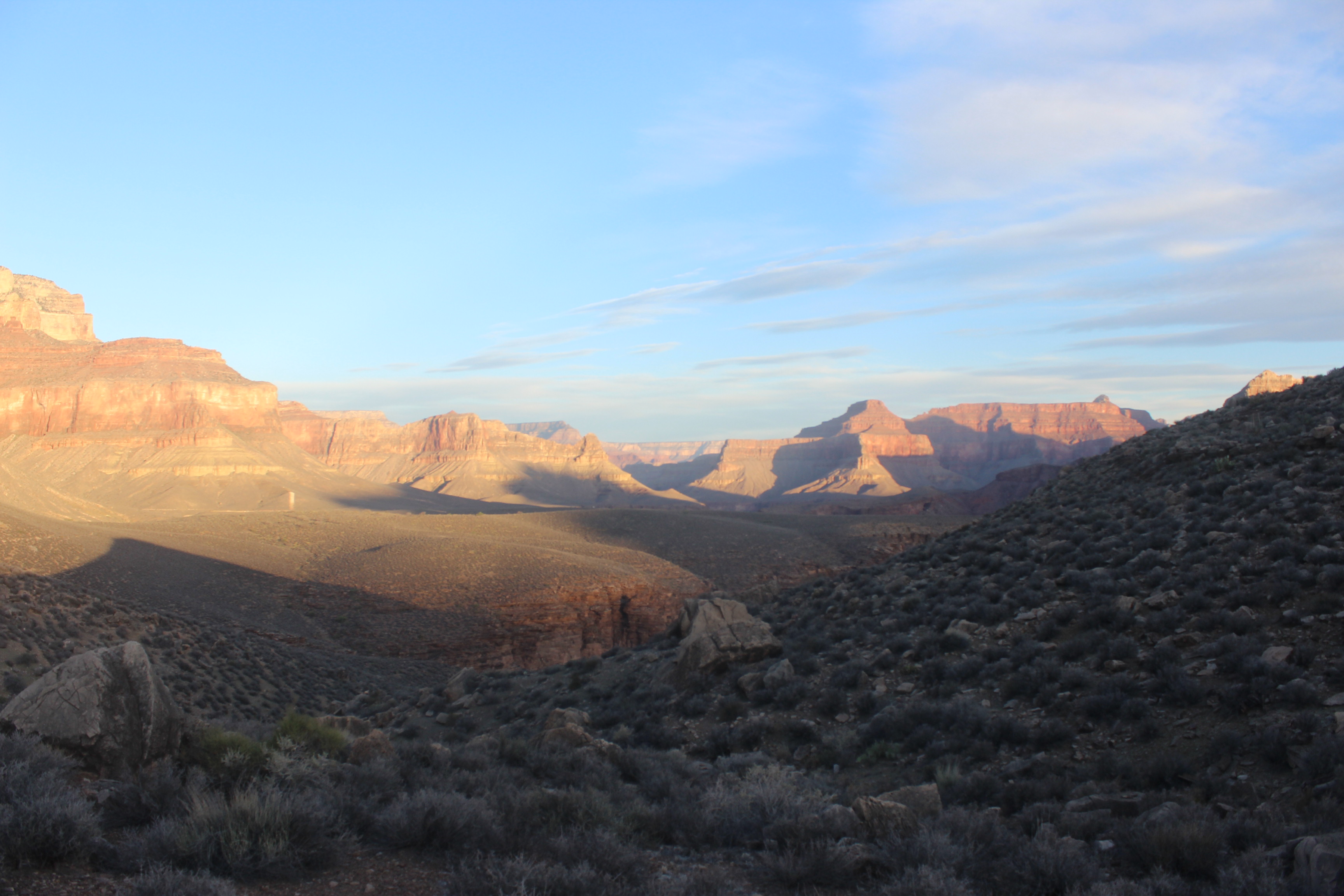
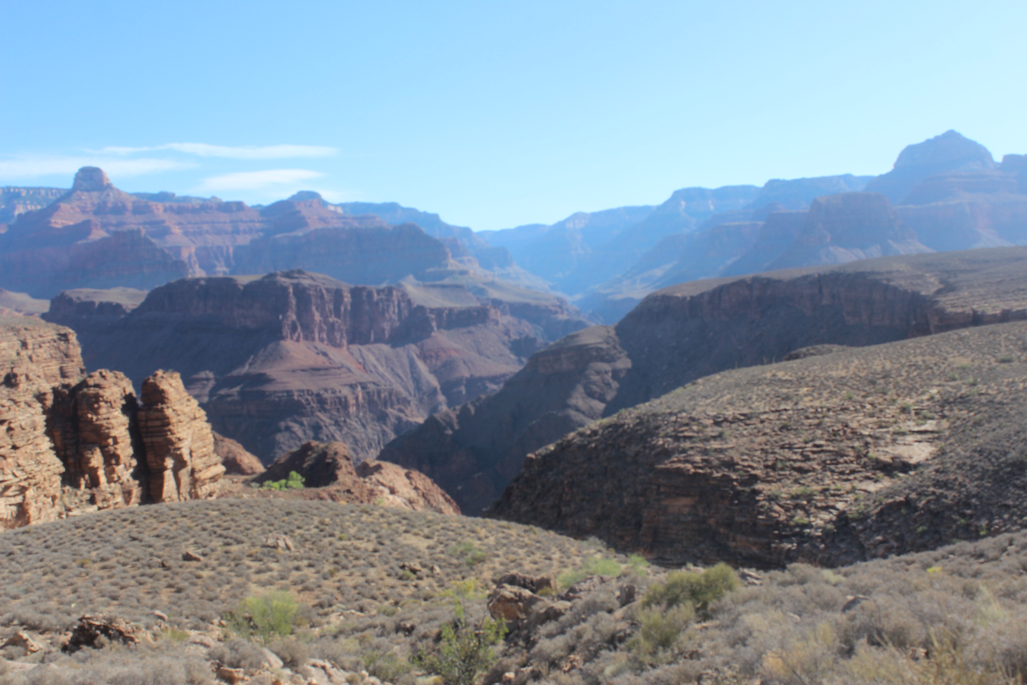
We came from somewhere back there.
There aren’t many pictures or words from this part of the hike. The view didn’t change much, fantastic though it was. We trekked to Havasupai Gardens, knowing we’d take a very long break there, which we did. We only had one more push to go. Four and a half miles of switchbacks up more than 4,000 feet and we’d be done. Luckily, my knee wasn’t bothering me anymore: I don’t know if it just went numb, or if the constant movement helped mitigate the pain, or if going uphill was less difficult on it than going downhill. The reasons didn’t matter, though—I had worn my knee back to not hurting again.
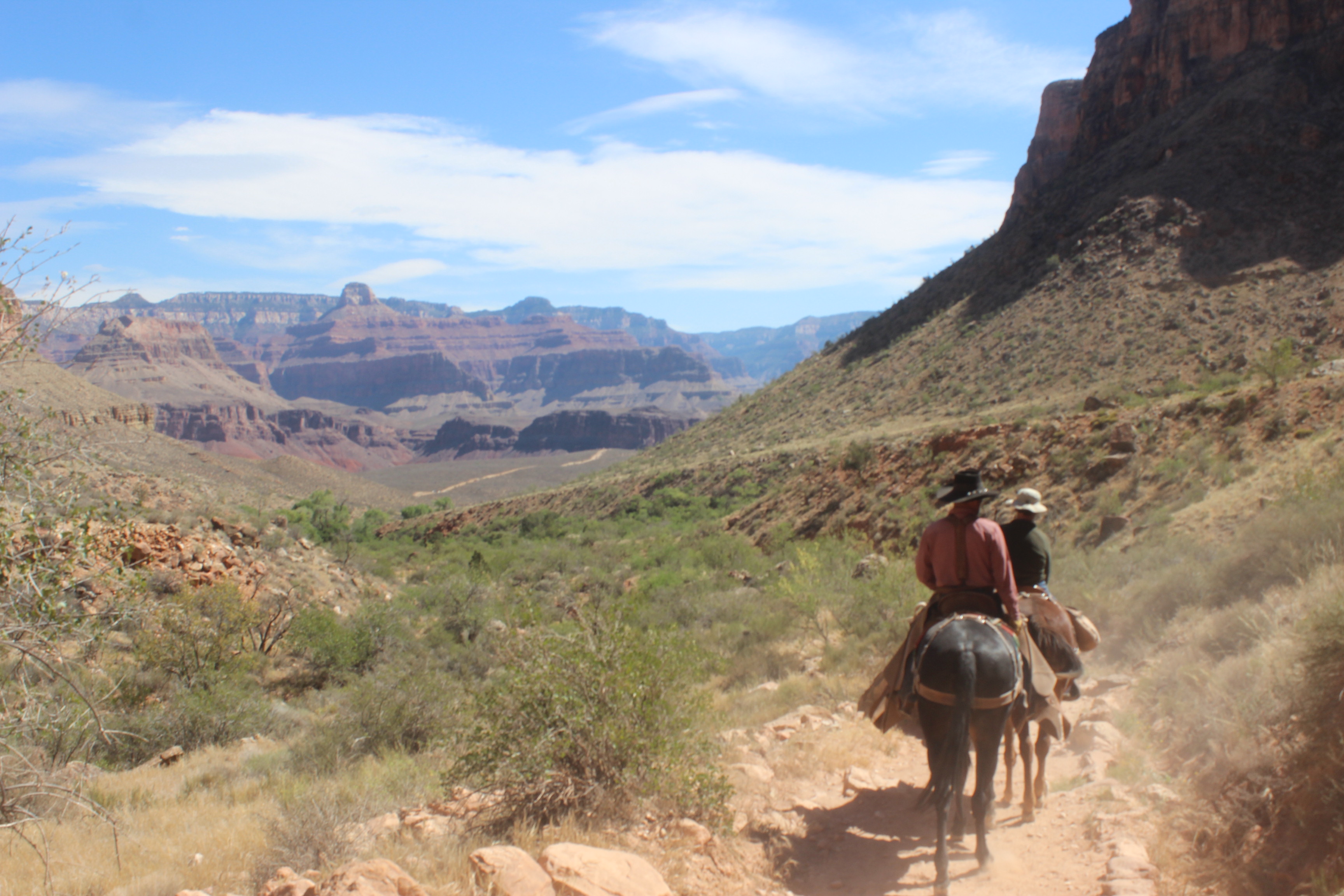
Ethan and I hit a very good rhythm going up. We took a short break whenever there was good shade, and thankfully, there was a good amount of shade. Every mile and a half there was a resthouse, and we took a longer break there to fill up water. Unlike the North Rim, the switchbacks on the south side felt much more social. We fell into a pack of backpackers going at our pace. This section of the hike was the one I was most scared of before undertaking the trip, but I found myself happiest here. I was physically exhausted but mentally at my peak: I think making passing friendships on the trail really helped. We played leapfrog with about half a dozen hikers as we ascended. I knew I would make it to the top, because we all had to.
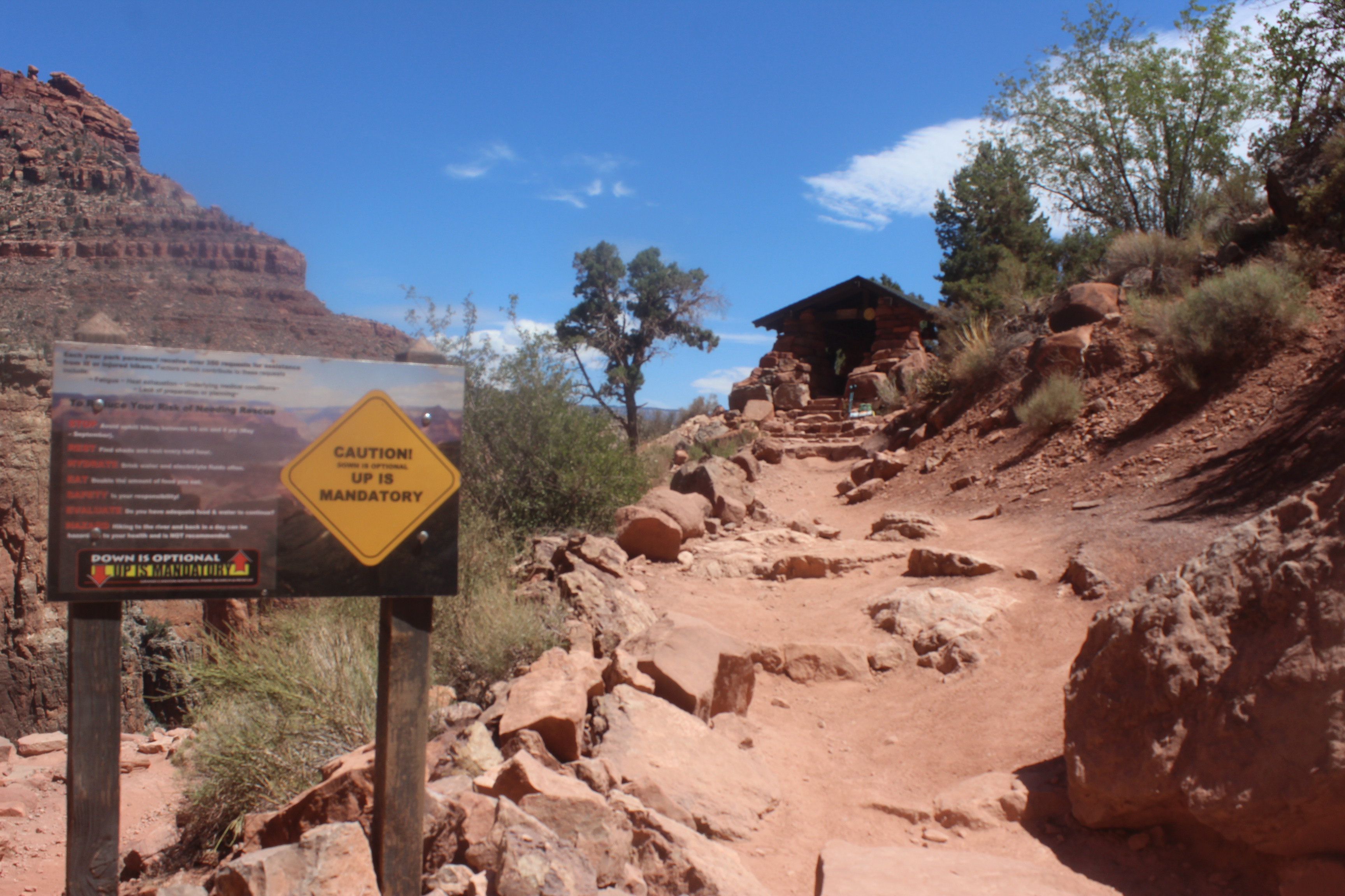
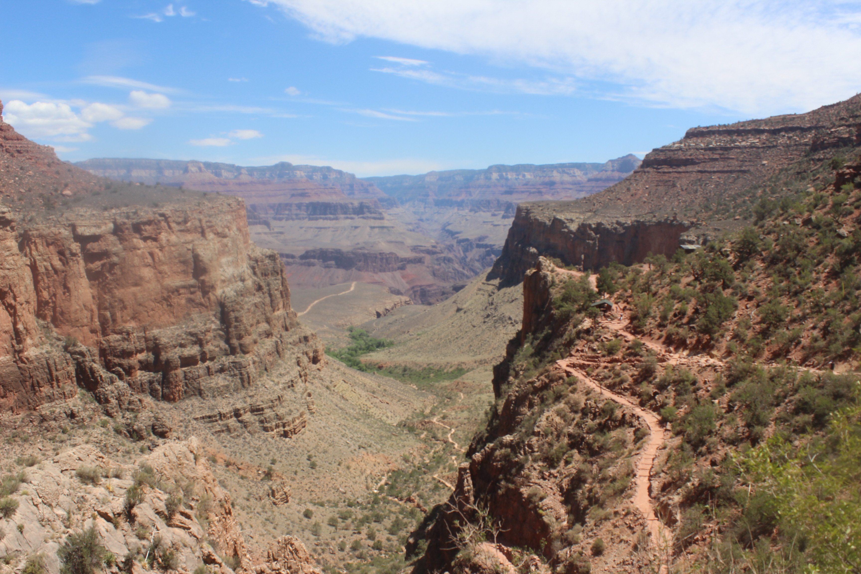
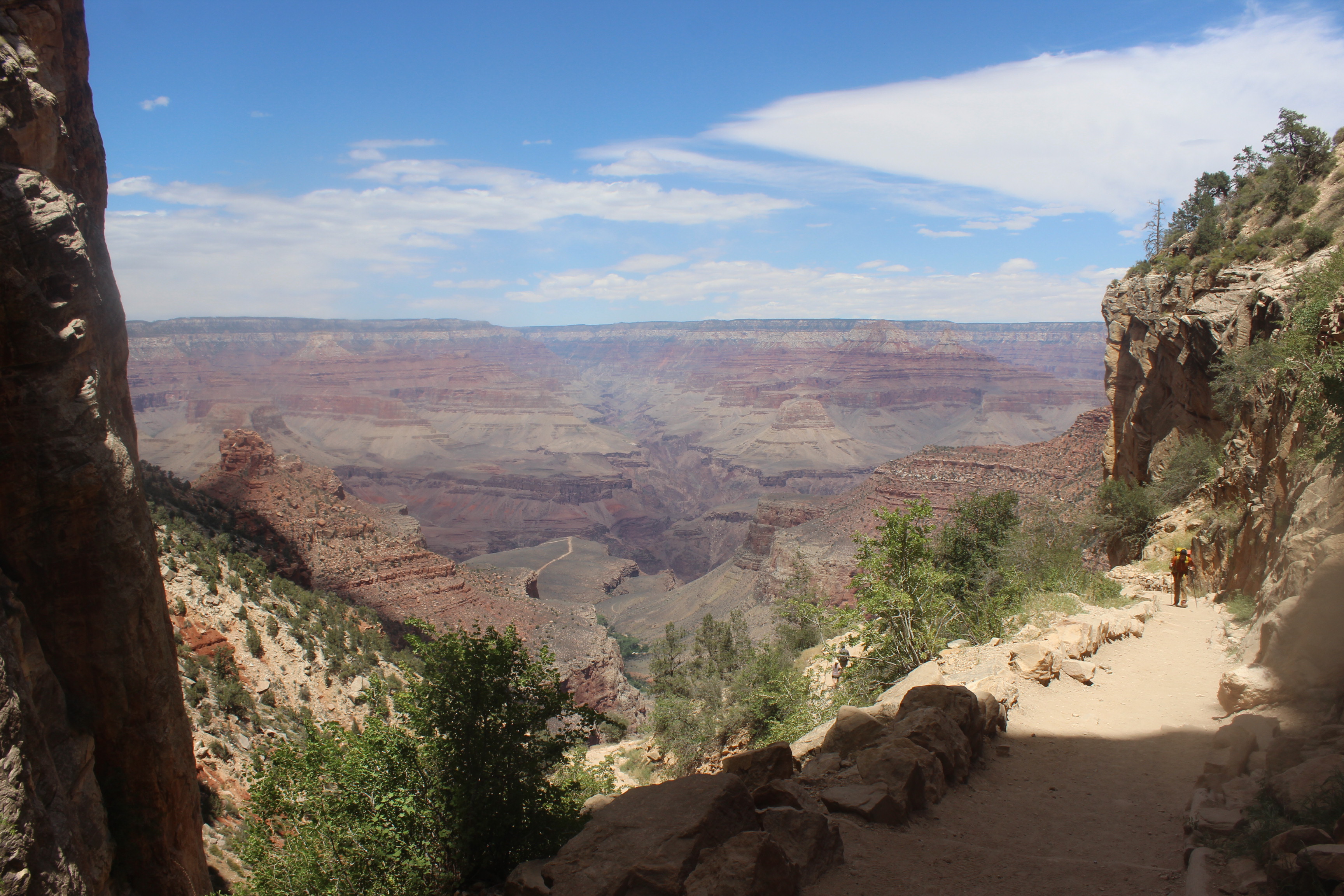
The view gradually became more like the ones you see in every classic picture of the Grand Canyon, and I knew we were almost there. The number of day-trippers going some undetermined way down kept increasing.
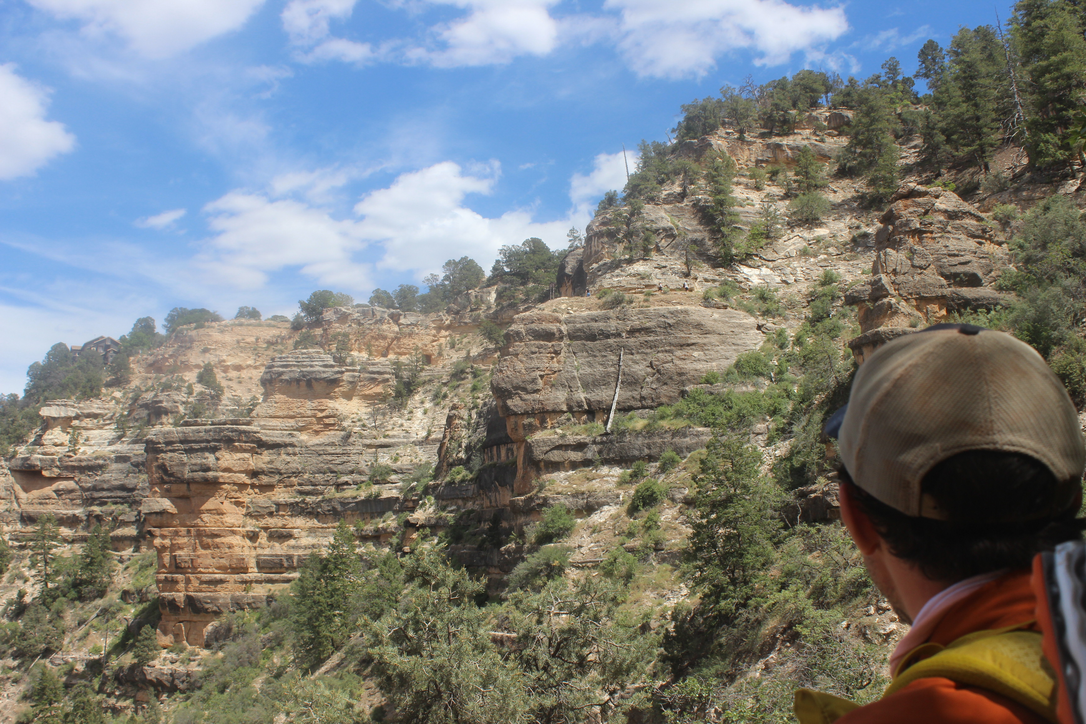
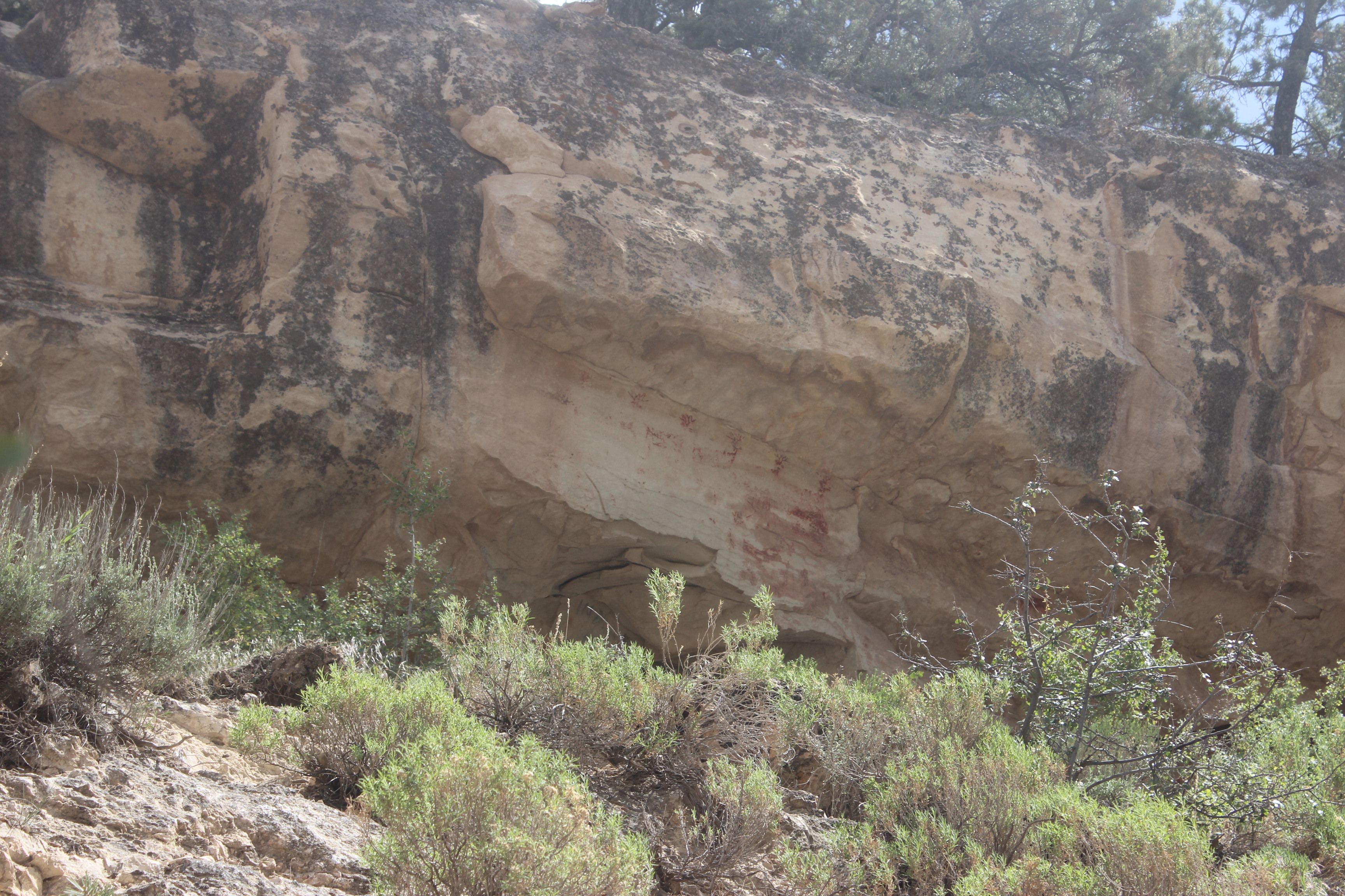
There was one last thing I wanted to stop and see on the hike. Only a few hundred feet from the top, there’s a panel of pictographs visible from the Bright Angel Trail just below the first tunnel. Most people miss it. They depict deer, but their antlers are the most visible on the rock. Their bodies have faded into a ghastly red paint with time. I love rock art, and wouldn’t miss seeing a pictograph panel even near the end of such a difficult hike. I stopped to admire them and take a few pictures, and then continued on, like a visitor in an art museum, towards the exit.